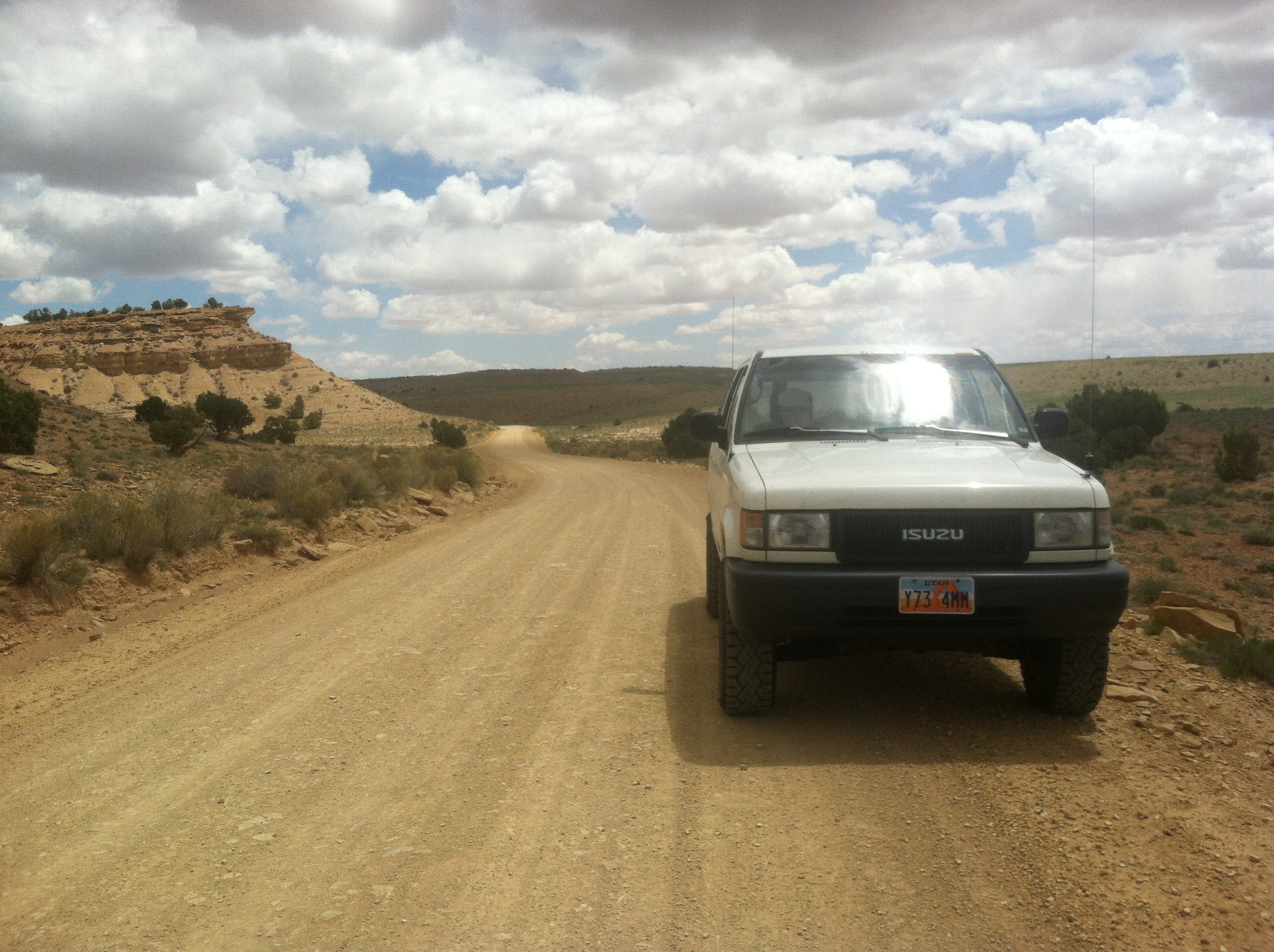
Sometimes you just need a break. It’d been a long tail end of the winter and nearly three months since my last camping trip to the Newfoundland Mountains. So while I was doing some maintenance to the Trooper a few weekends ago I figured that it was time for another trip. Nothing, big or fancy, just a chance to get away from it all for a few days.
So I called up my good friend Scott who had finally found an acceptable camping vehicle in the form of a 2003 Toyota Tacoma and saw what he was doing the next weekend. Fortunately nothing, so we planned to take a short trip into the San Rafael Swell.
Accompanied by Scott’s wife Manda and my girlfriend Katy we battled rush hour traffic Friday afternoon until we made it to Spanish Fork canyon, where we stopped at the delectably vintage Little Acorn inn for burgers before continuing on to our final destination of The Wedge.
I generally like starting my excursions to the Swell at the Wedge because usually I’m heading out from Salt Lake after work and its an easy place to find any time and in any weather. Its prepared camping, which is not my preferred form, but if its 10 o’clock at night and all you want to do is light up a camp fire and not find a fire rind or build one. Bam, its there. And that’s exactly what happened this trip. We rolled into camp around 9:30, staked our tents, lit up the fire, sipped a few beers and chatted until we felt the need to hit the sack.
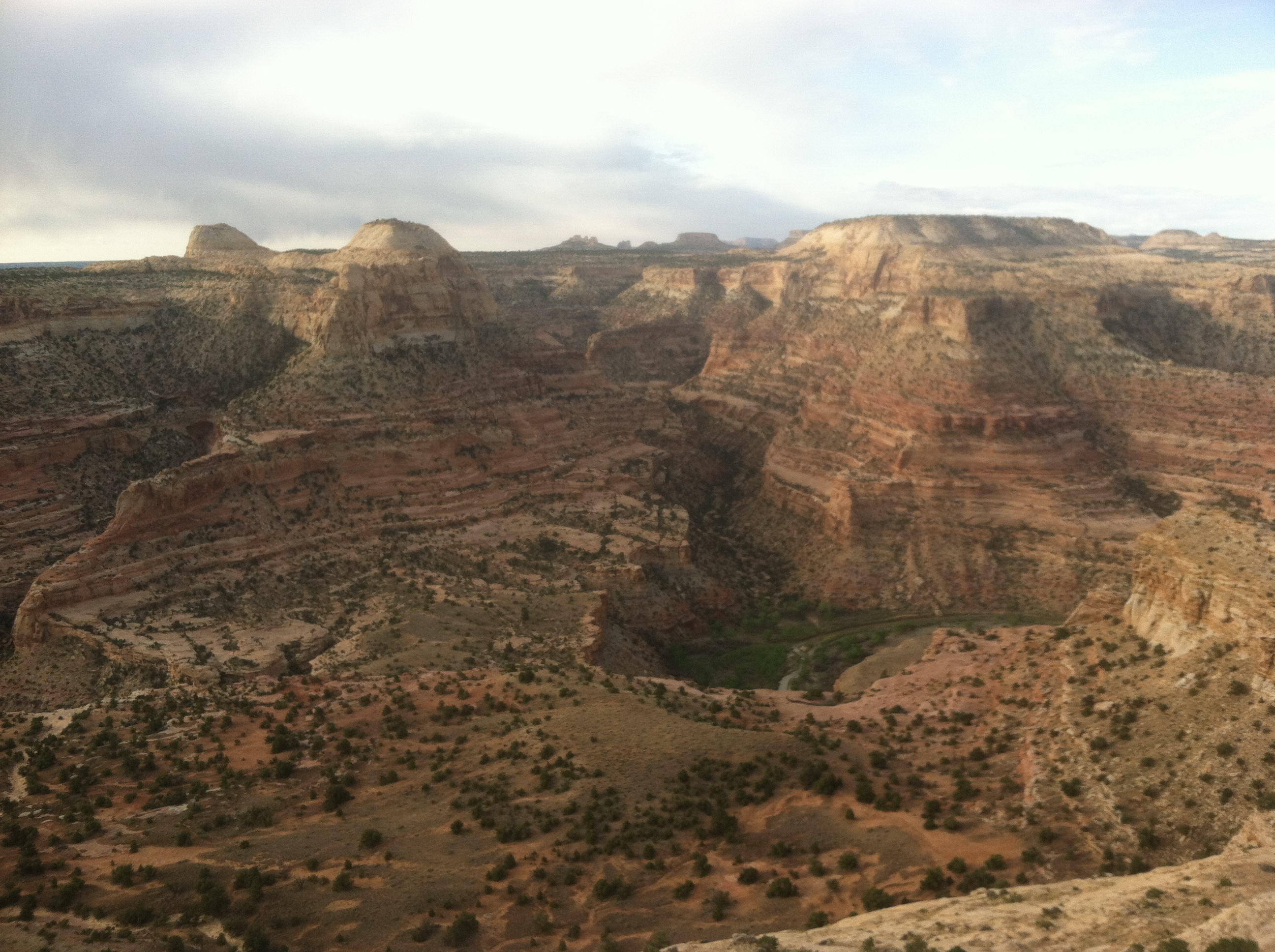
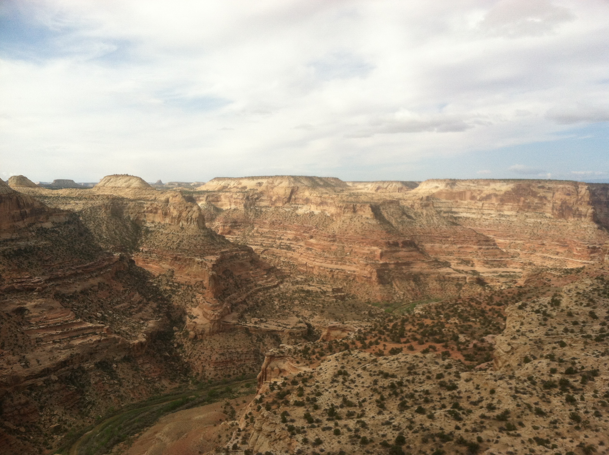
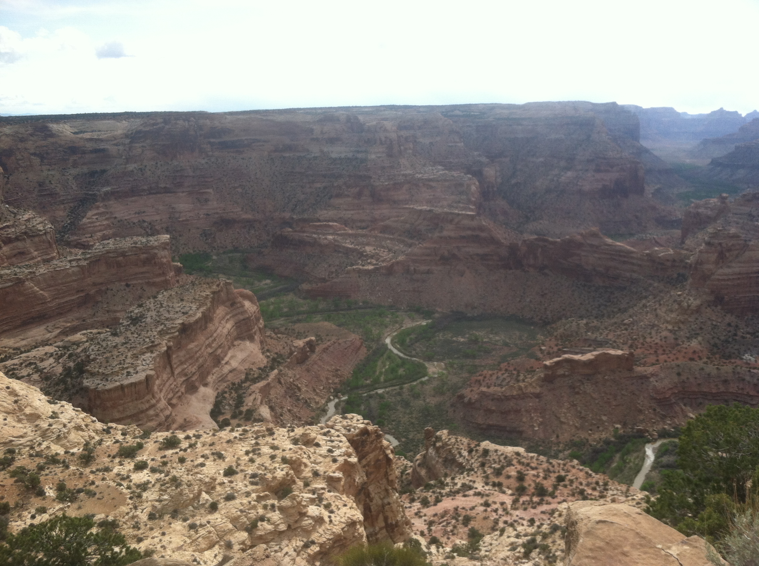
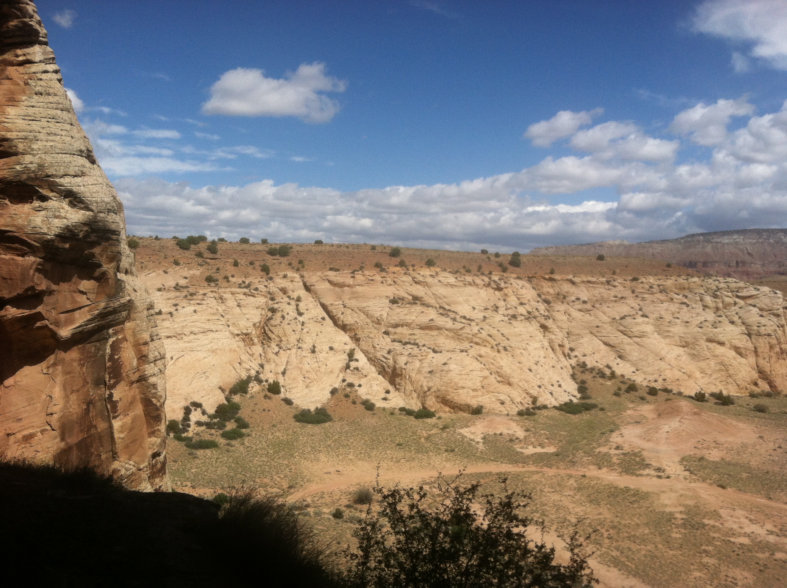
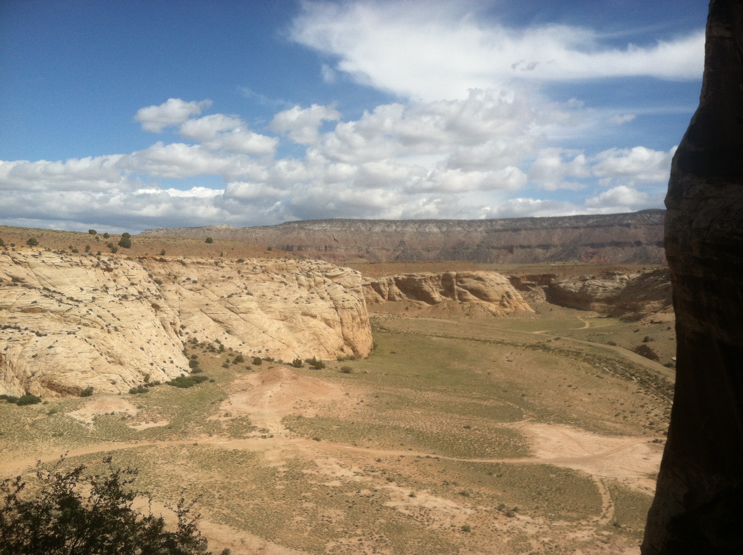
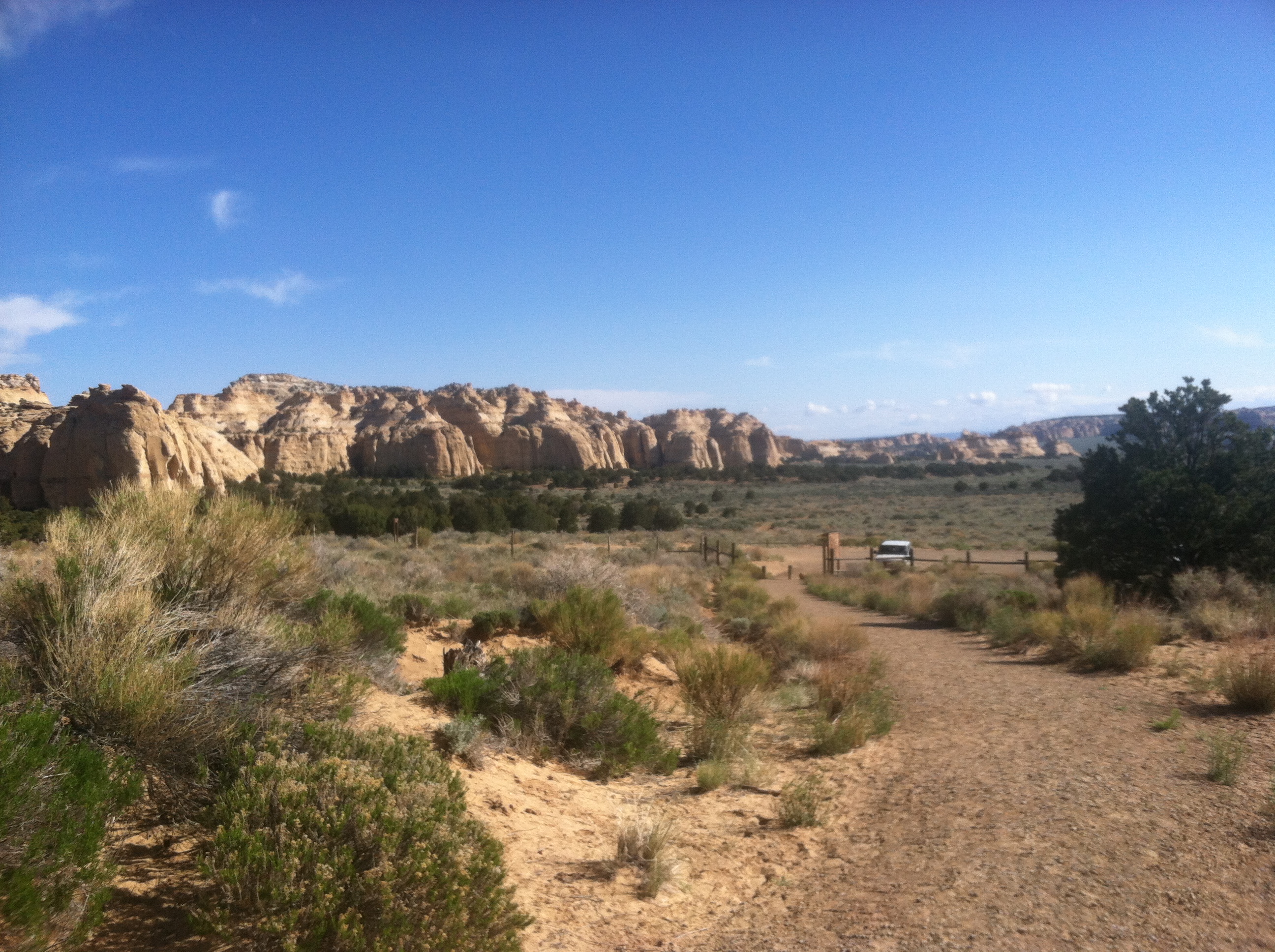
The morning brought a brisk sunrise after some light rain in the night and the typically spectacular views of The Wedge.
We had a leisurely start to the morning, and thus set the tone for the day. Katy, Scott, and Manda had never been to the Swell before, so I took them out along to some of the highlights, the first stop being the MK Tunnels along Buckhorn Draw. The Readers Digest version of the MK Tunnels is that the government back in the late 1940’s hired a contracting firm called Morrison-Knudsen to blast a number of tunnels in the Swell as a test. The reasons for the test were, and still are, classified. Rumors are that they were blasting to test for places to build ICBM silos (unlikely because ICBM’s had yet to be invented as we know them today), to a place to store weapons, testing weapons, and my preferred options, a location to house bunker facilities such as what eventually ended up in Cheyenne Mountain. But obviously it was found that the sandstone wasn’t quite as strong as granite when it comes to planning to survive a near miss from a nuclear attack.
You used to be able to actually get into the MK Tunnels, but in the last few years the BLM took it upon themselves to “protect” the public and block them off. Not only did they gate this tunnel entrance, they also covered up all the holes that the blasts left in the top of the mesa. Truly a shame.
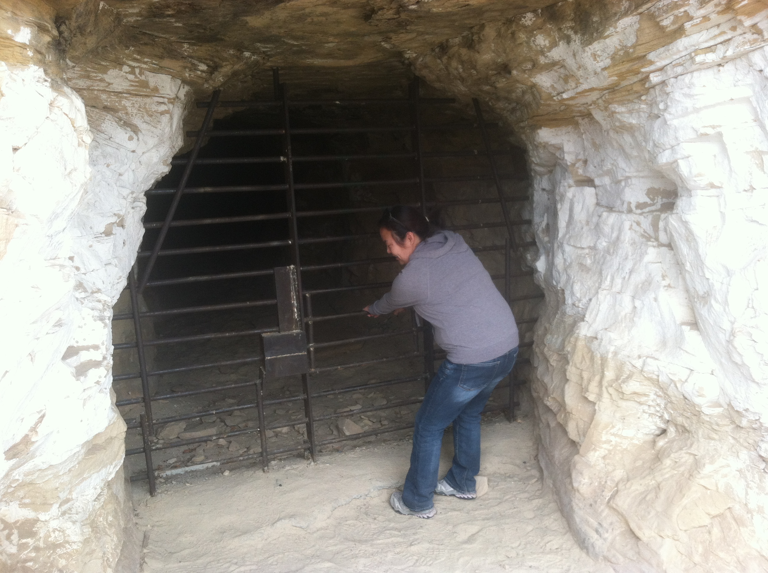
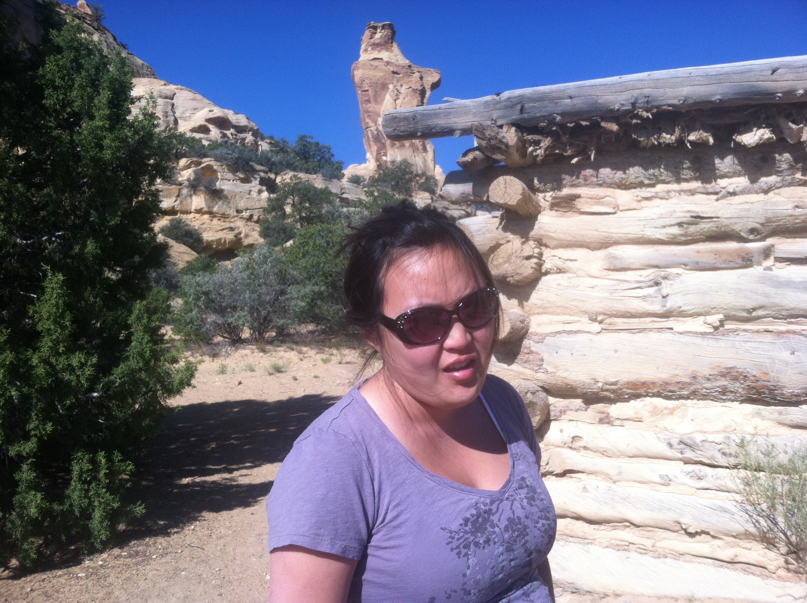
Despite Katy’s best effort, she couldn’t open the gate.
Just a little ways down from the MK Tunnels is the famed dinosaur print. Just up on the ridge to the side of the road is the paw print of a giant lizard creature thing.
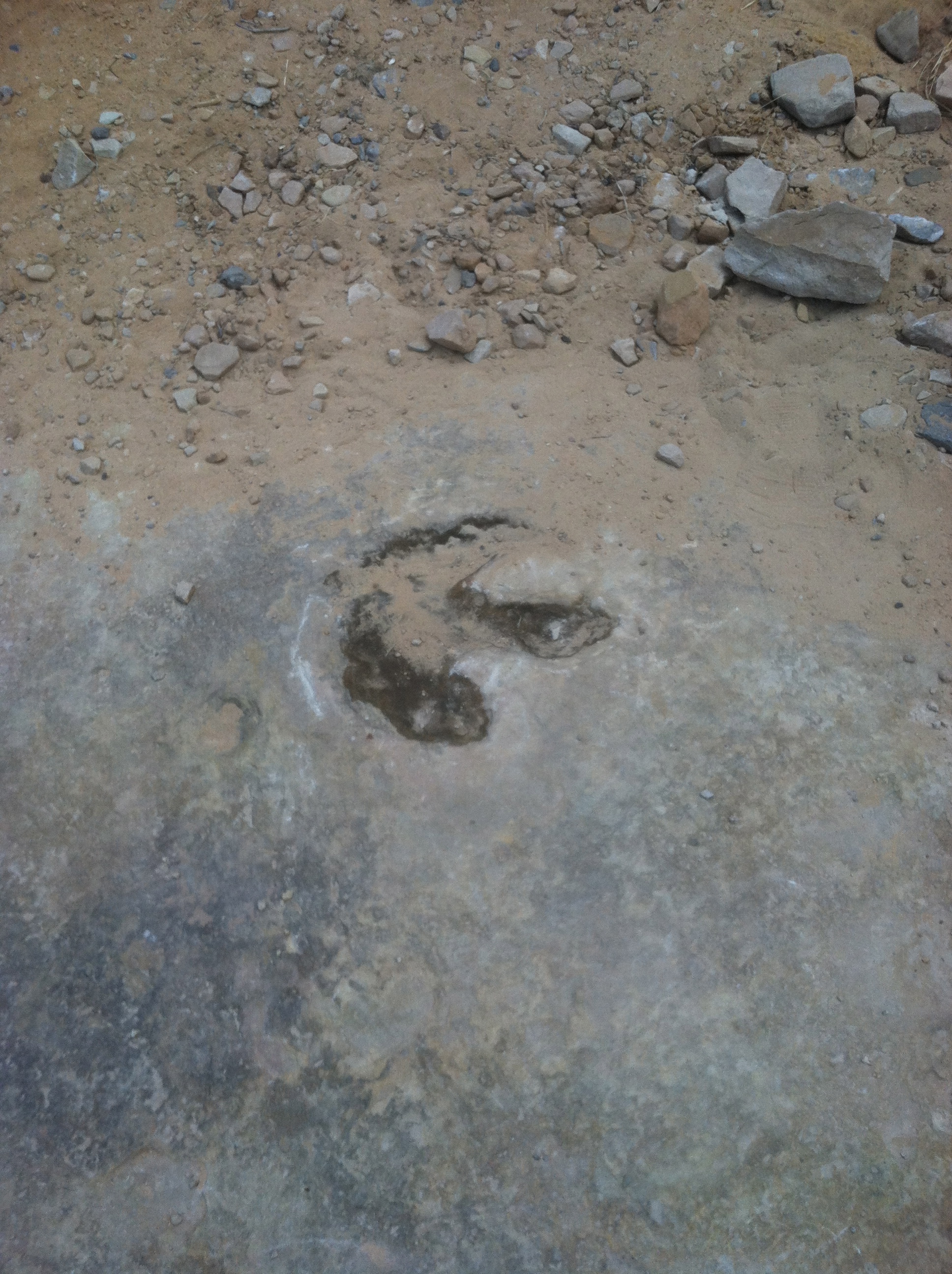
Katy was not a believer.
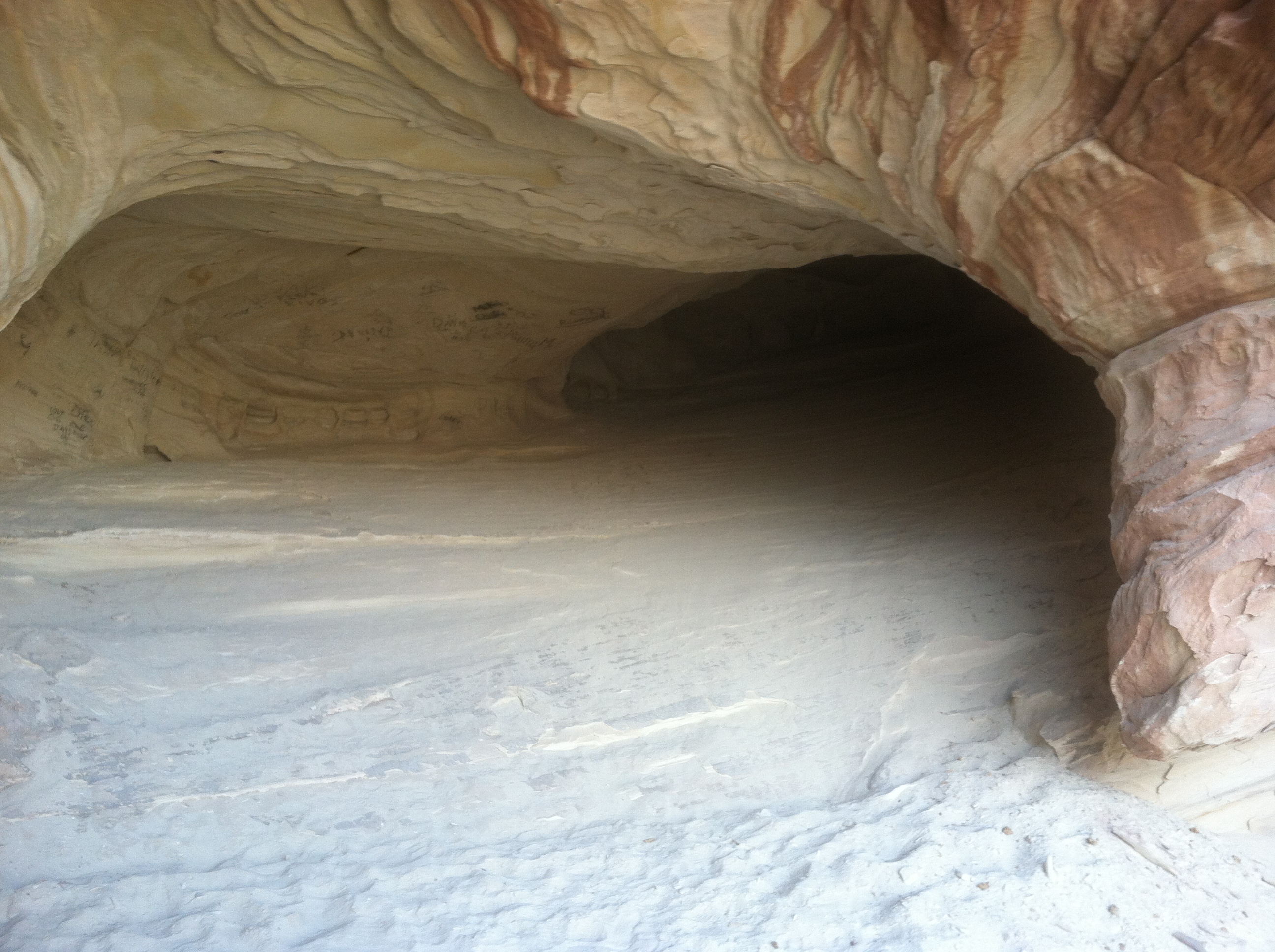
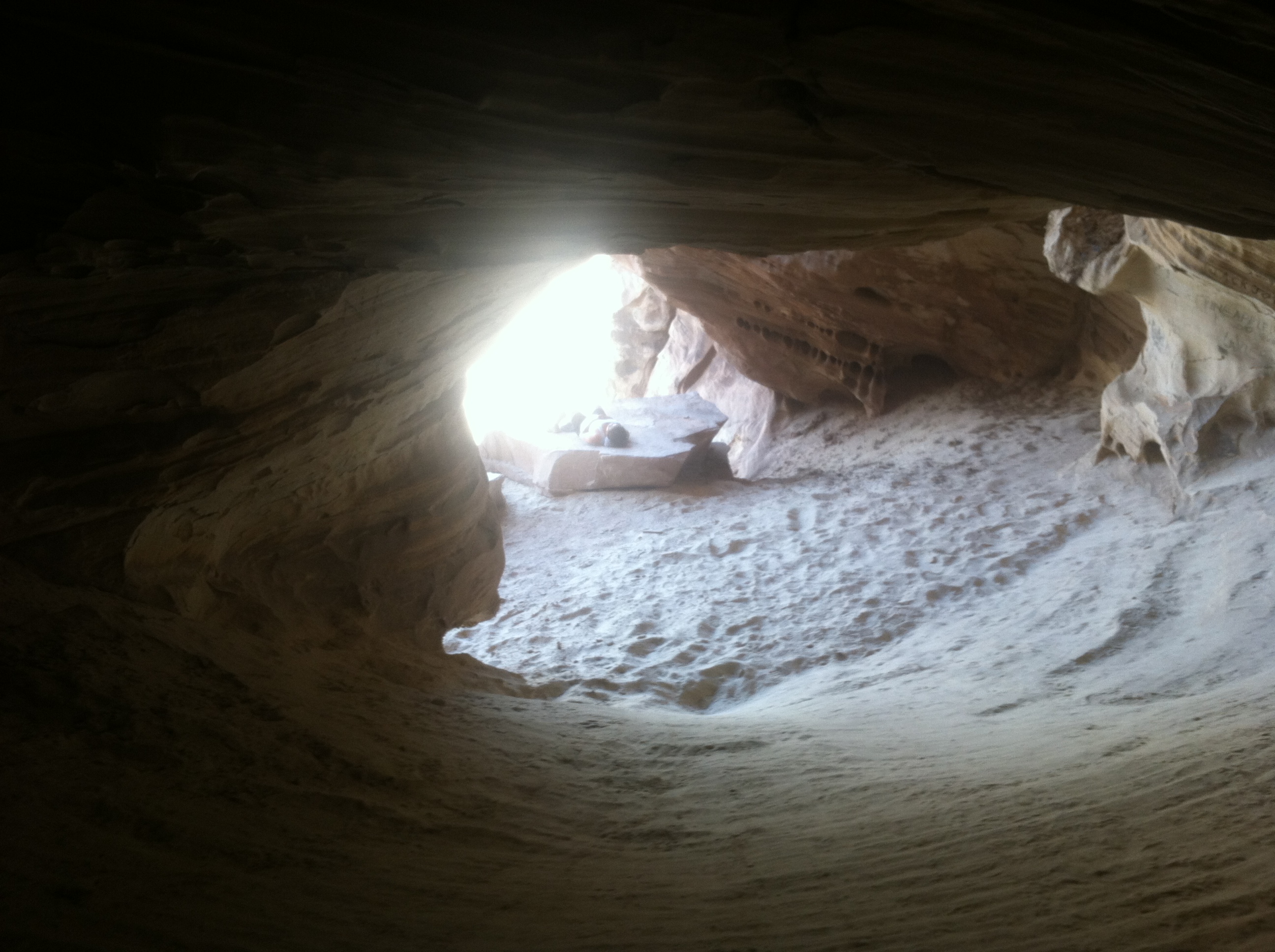
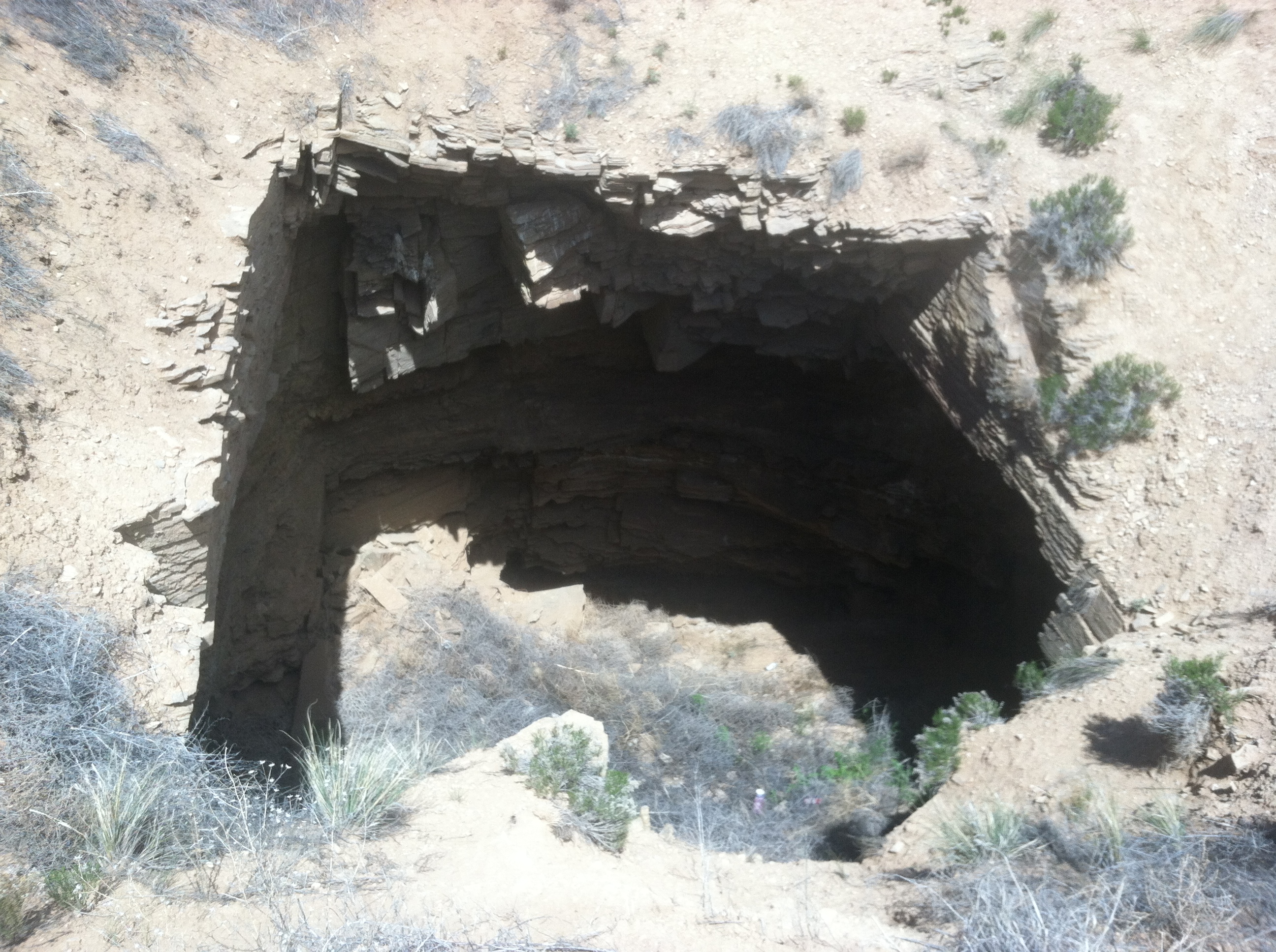
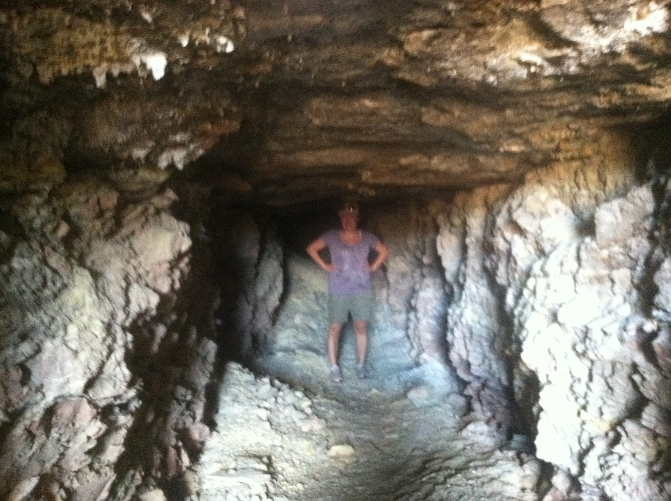
Opposite of the dinosaur print there is a short network of roads and some campgrounds. We walked a little down them just to see if it was worth it to take a detour (it wasn’t) but looking up I saw a cave I’d never noticed before! It was up a very steep and loose incline, but very much worth the climb.
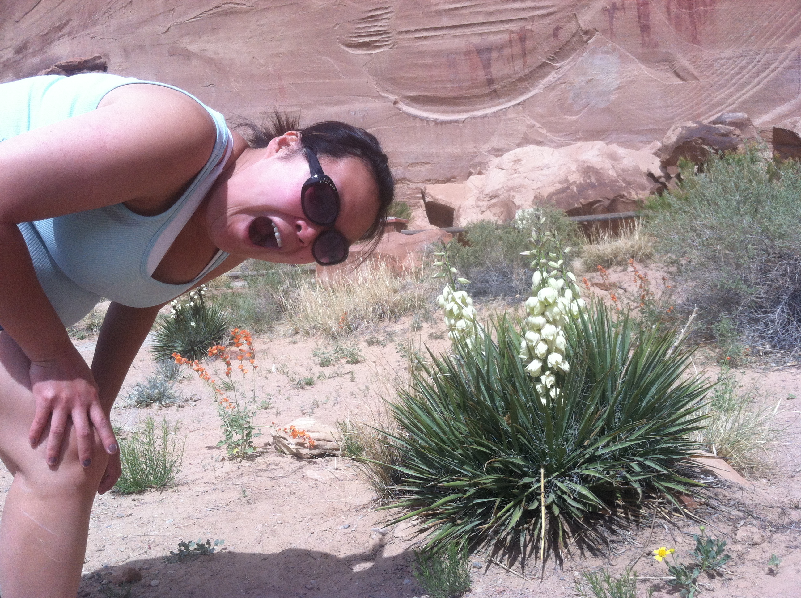
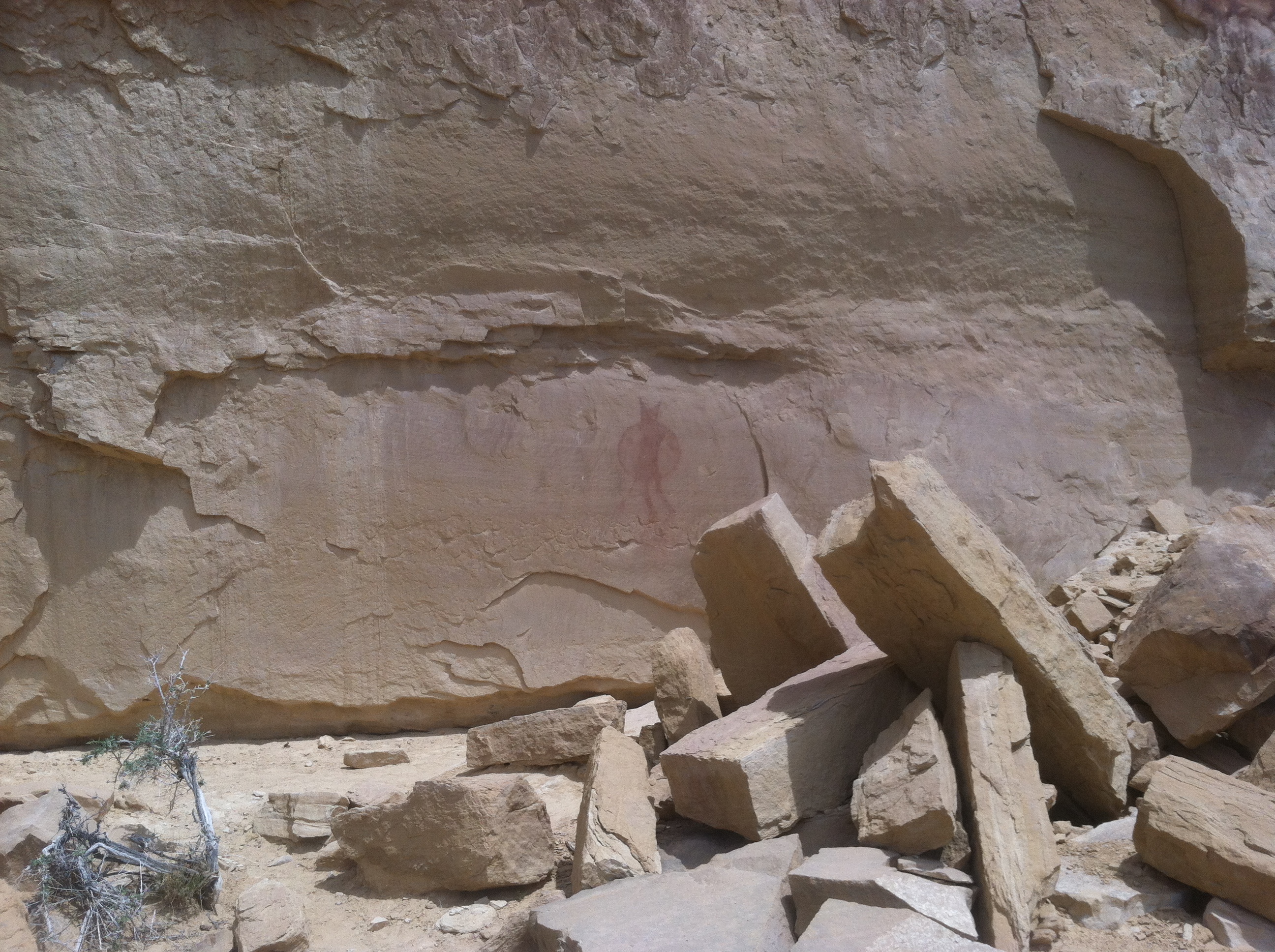
After sliding down (literally in some spots) from the cave, we continued our journey down Buckhorn Draw to the Buckhorn Pictograph Panel. As the name would suggest, this is a panel of extensive Native American paintings. Many people feel that this was some sort of ritual site or meeting place. I tend to err on the side that these were done by bored teenagers who decided to tag a wall. Much like people today people writing their names in a cave. Today its graffiti, two thousand years from now it’ll be art! Maybe. I don’t condone writing on walls, but the skeptic in me says that this is as likely a possibly as this being the Anasazi Louvre.
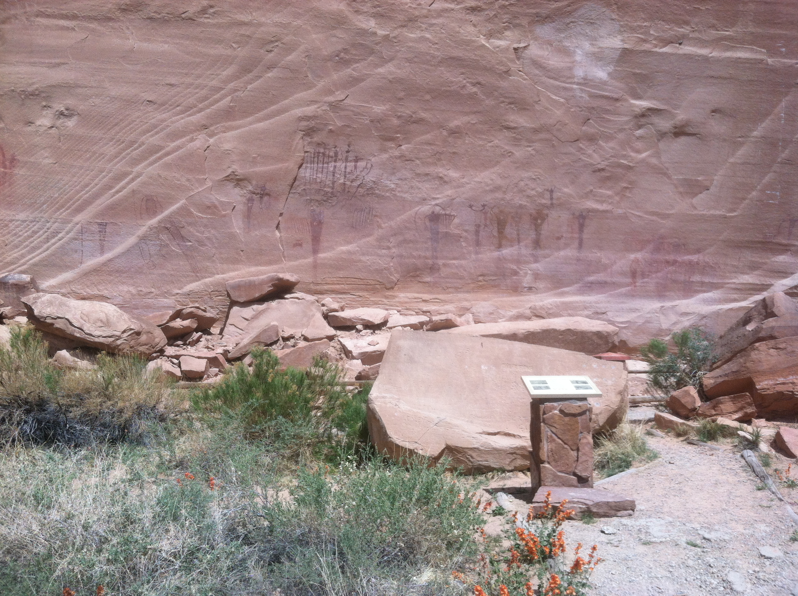
There are some really pretty flowers at the base of the panel.
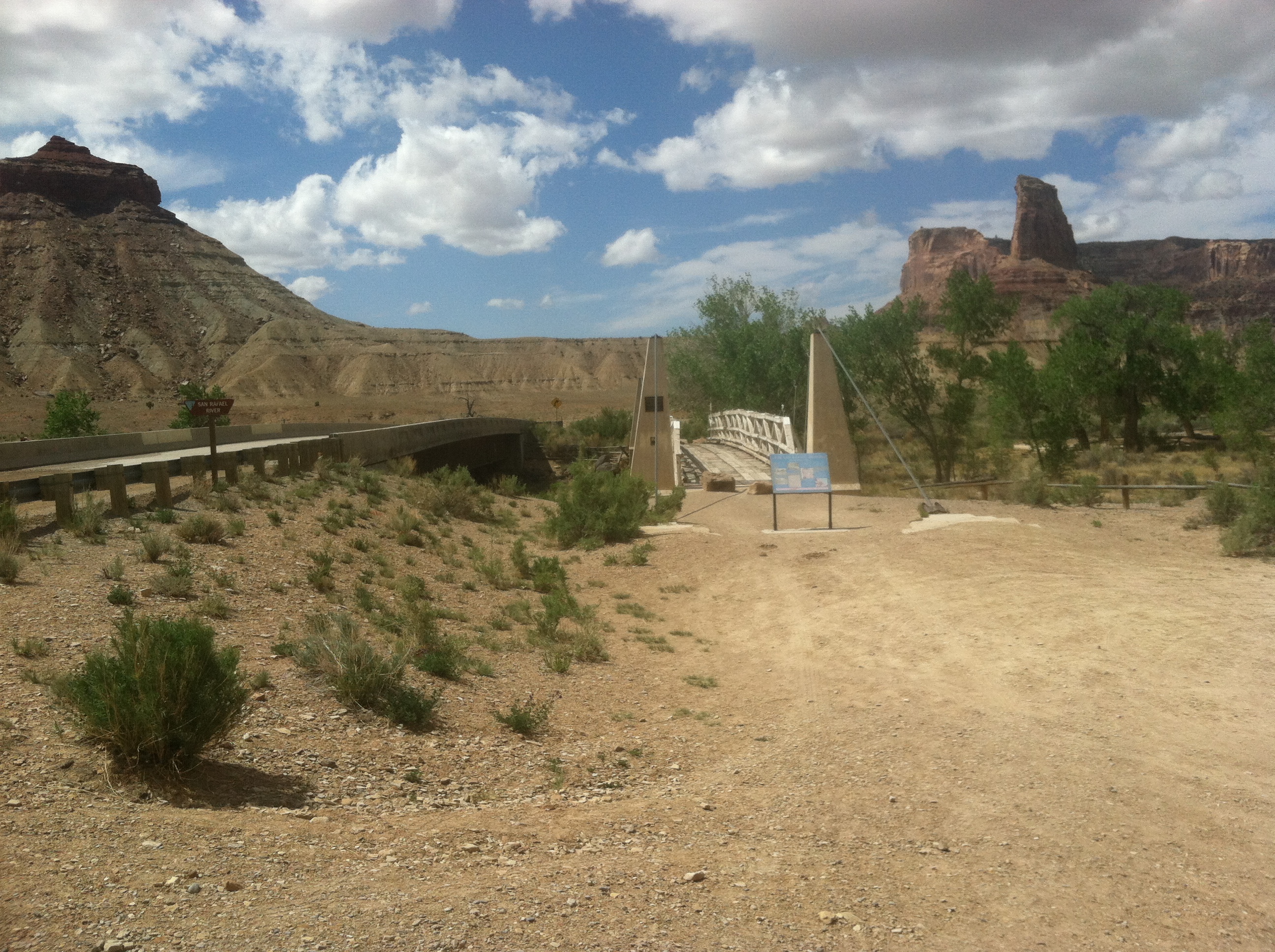
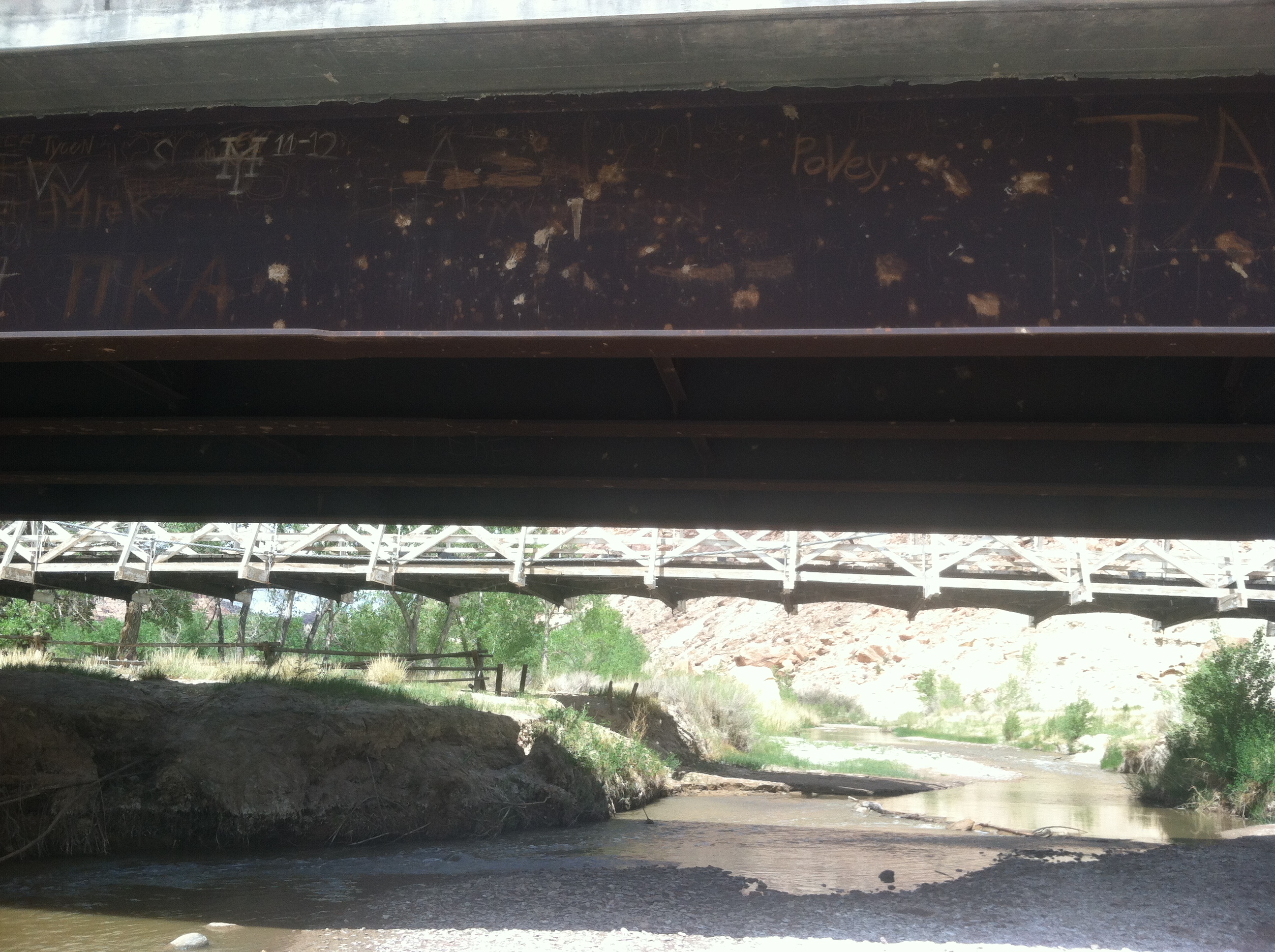
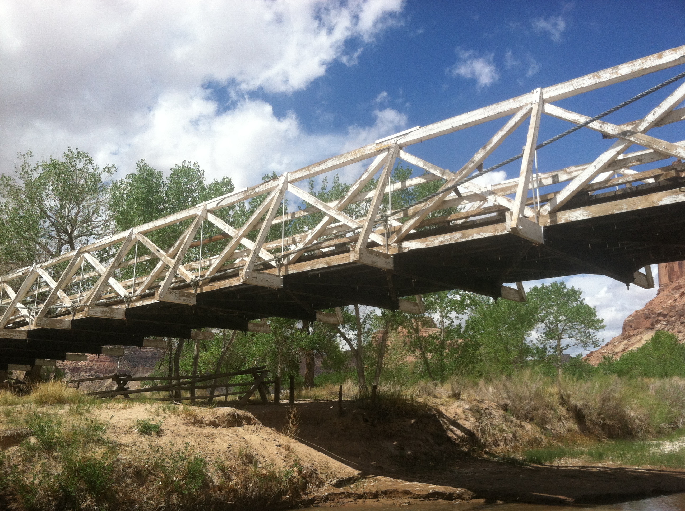
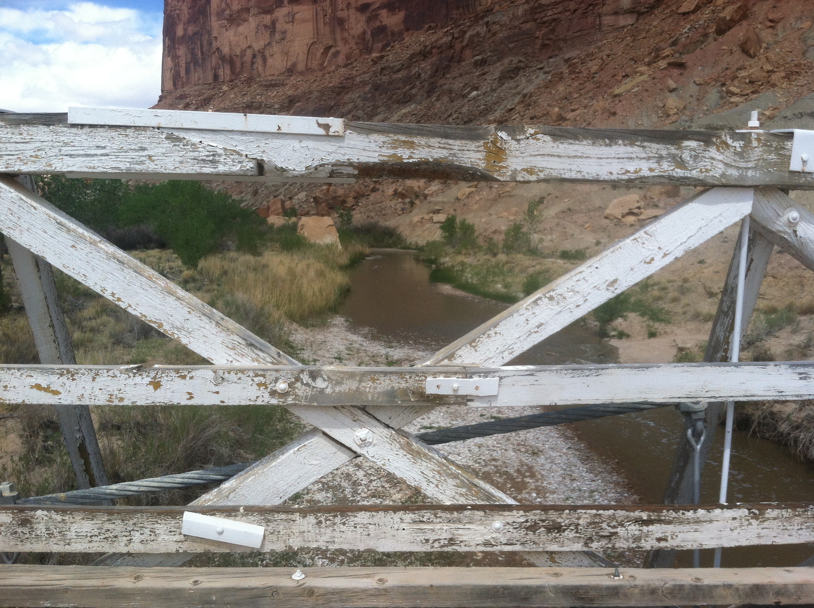
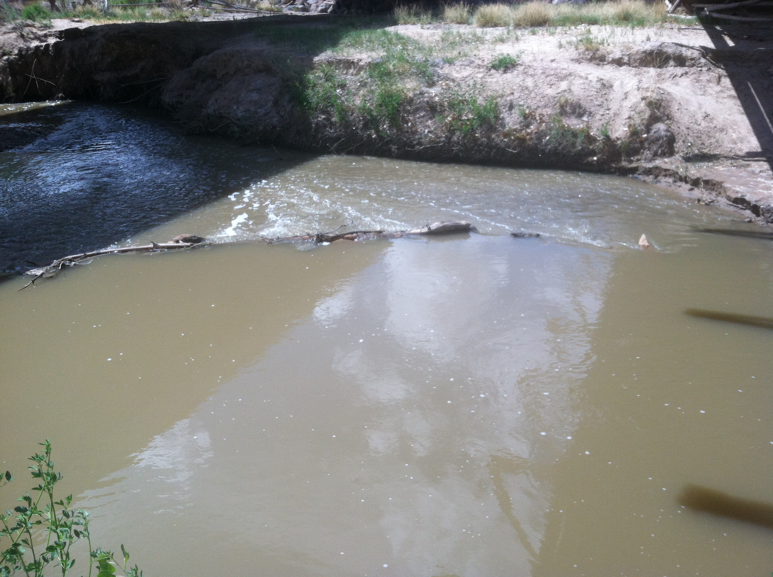
A short jaunt down from the Buckhorn Panel is the San Rafael Bridge, which spans the river of the same name. There are actually two bridges, the original suspension bridge and the modern steel and concrete one. The original was built by the Civilian Conservation Corp between 1936 and 1937 and is an impressive structure. All wood and steel wire aside from the concrete towers and anchors. You can no longer drive across it, but walking gives you a sense of what it must have been like. Even on person taking a heavy step can cause it to bounce slightly. Must have been a fun drive for sure!
And for all you Relic Runners out there, the dam we built last year to keep cool is still standing!
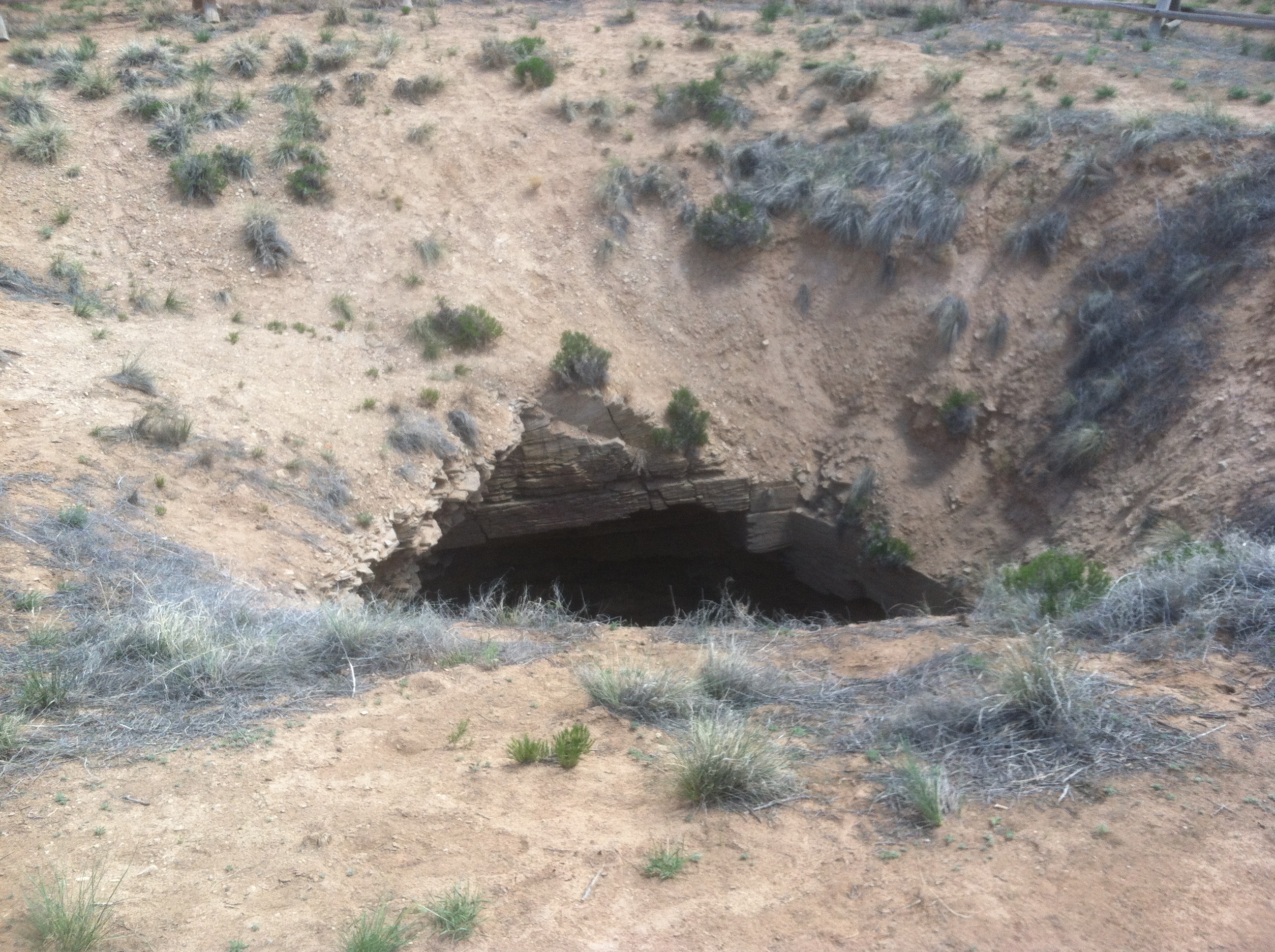
After relaxing by the river for a bit we continued on down the road to what the BLM refers to as “The Sinkhole”
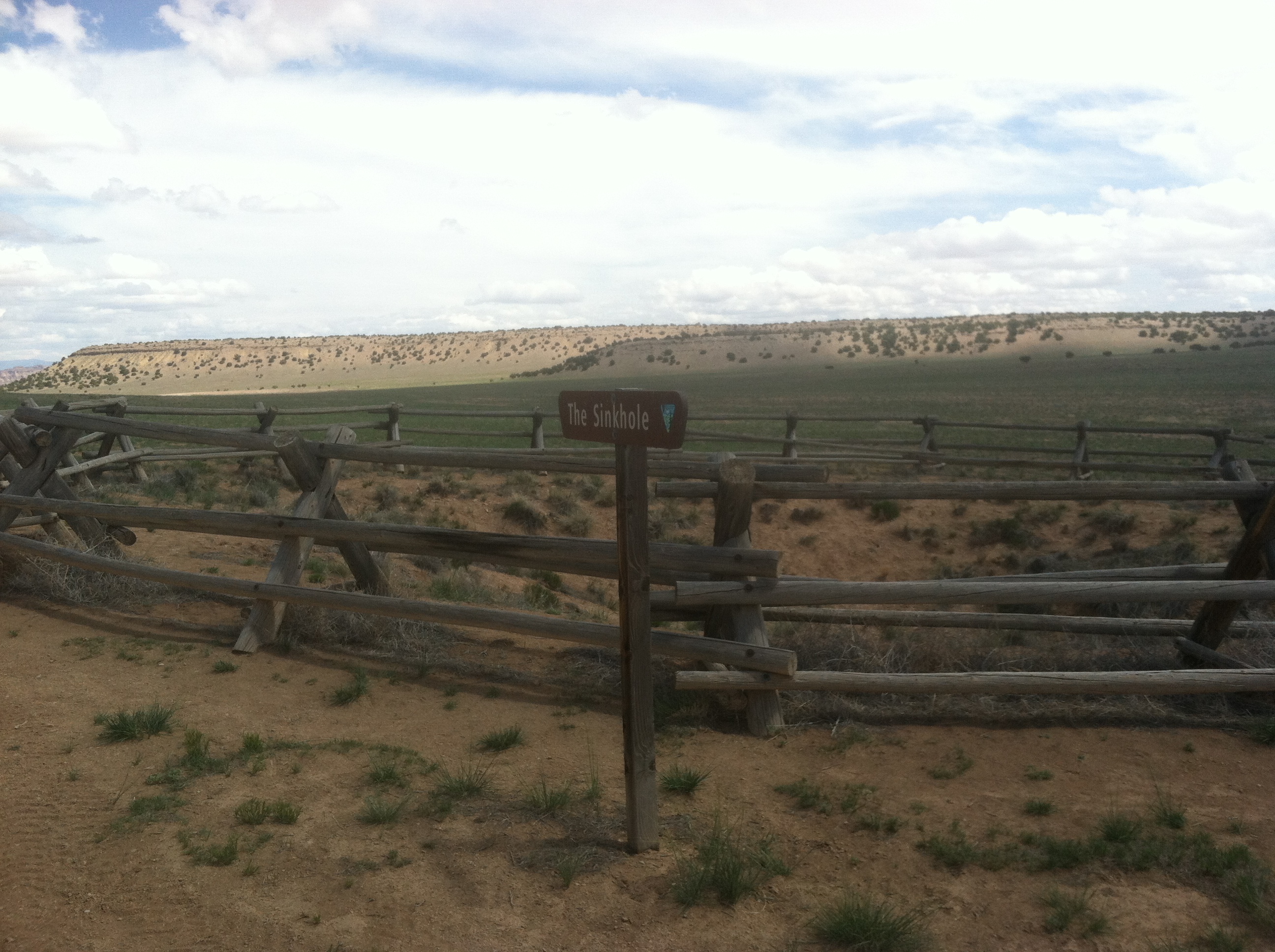
To the untrained eye it looks just like that. A hole sunk into the ground in the middle of a flat. Interesting, but nothing terribly special. I’ll let you all in on a little secret here. Its not a sinkhole. Noooo. It’s a Graboid hole. Yep. True story. Don’t believe me? Go look for yourself and you’ll become a believer.
From here we blasted down the rest of the Cottonwood road to the I-70 underpass to the southern side of the swell. Our goal was to get to the Lone Warrior pictograph panel and stake camp there before heading into Reds Canyon for the evening. Well, as with so many things, that’s not what happened.
We rolled into the Lone Warrior camp around 2:30 and found a nice spot to set up. As I was staking the tent, Katy decided to take a nap in the car. When the tent was set, she chose to move into the tent for her nap. Apparently, the same thing happened with Scott and Manda. And then Scott decided to also take a siesta. So that left me with my Winston Churchill biography in the shade for several hours.
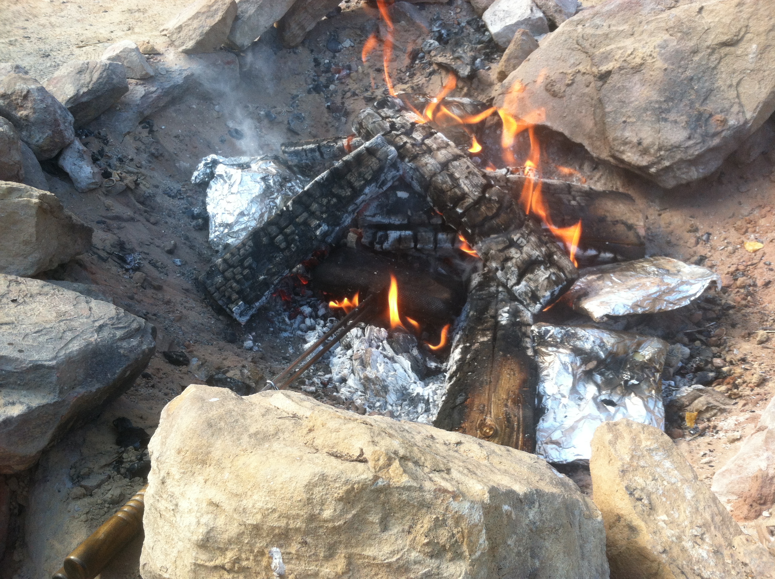
The siesta ended about 5:30, plenty of time to head out and explore for a bit longer. But apparently long desert naps make people hungry. So a fire was lit the satisfying crackle and sizzle of pie irons and hobo dinners replaced the crunch of tires over dirt.
I’m not complaining, sometimes it’s nice to just relax in the warm desert breeze and read for a while. And as our food cooked and the sunset I relished the long, evening of just chatting and joking by the fireside.
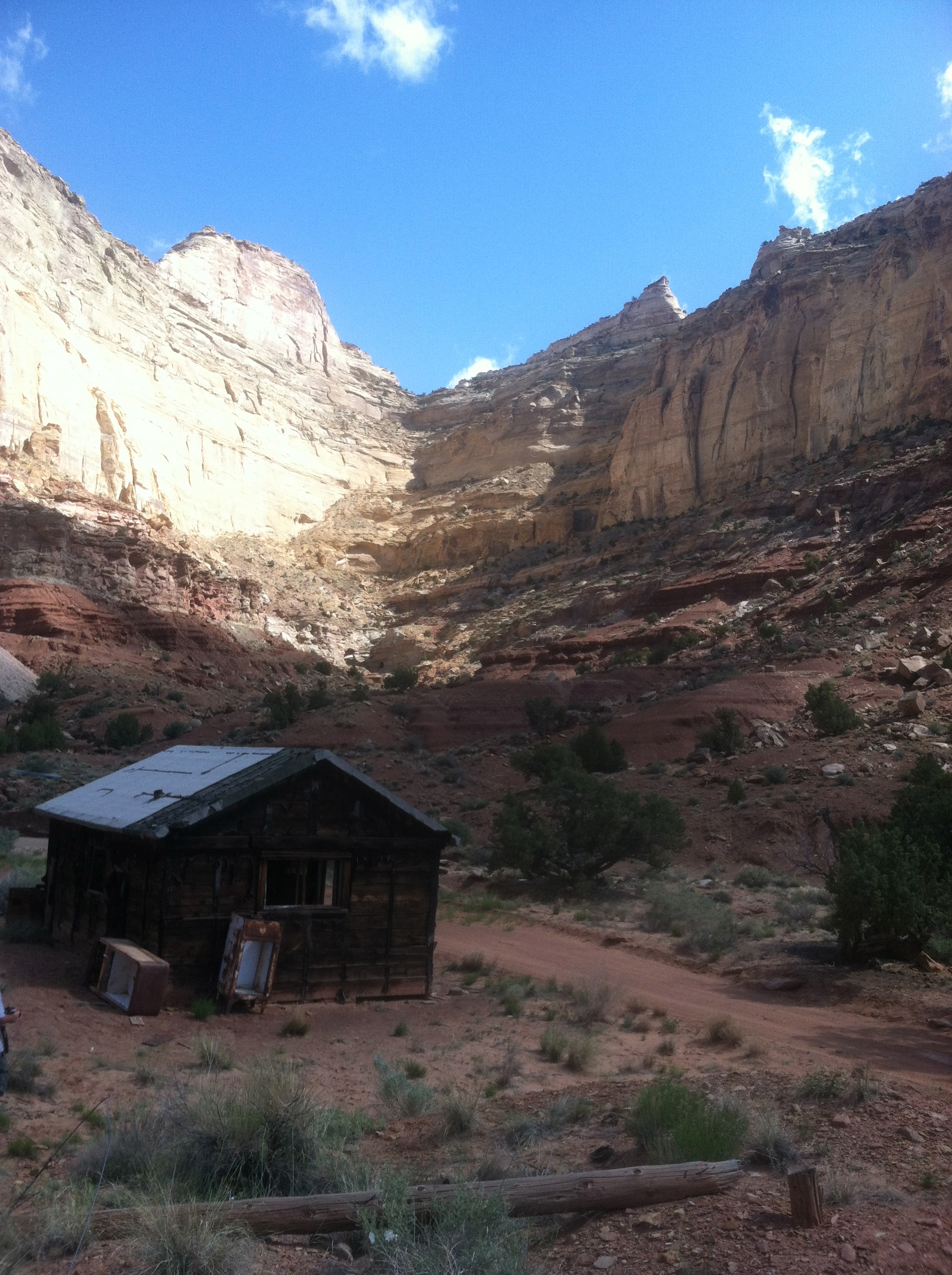
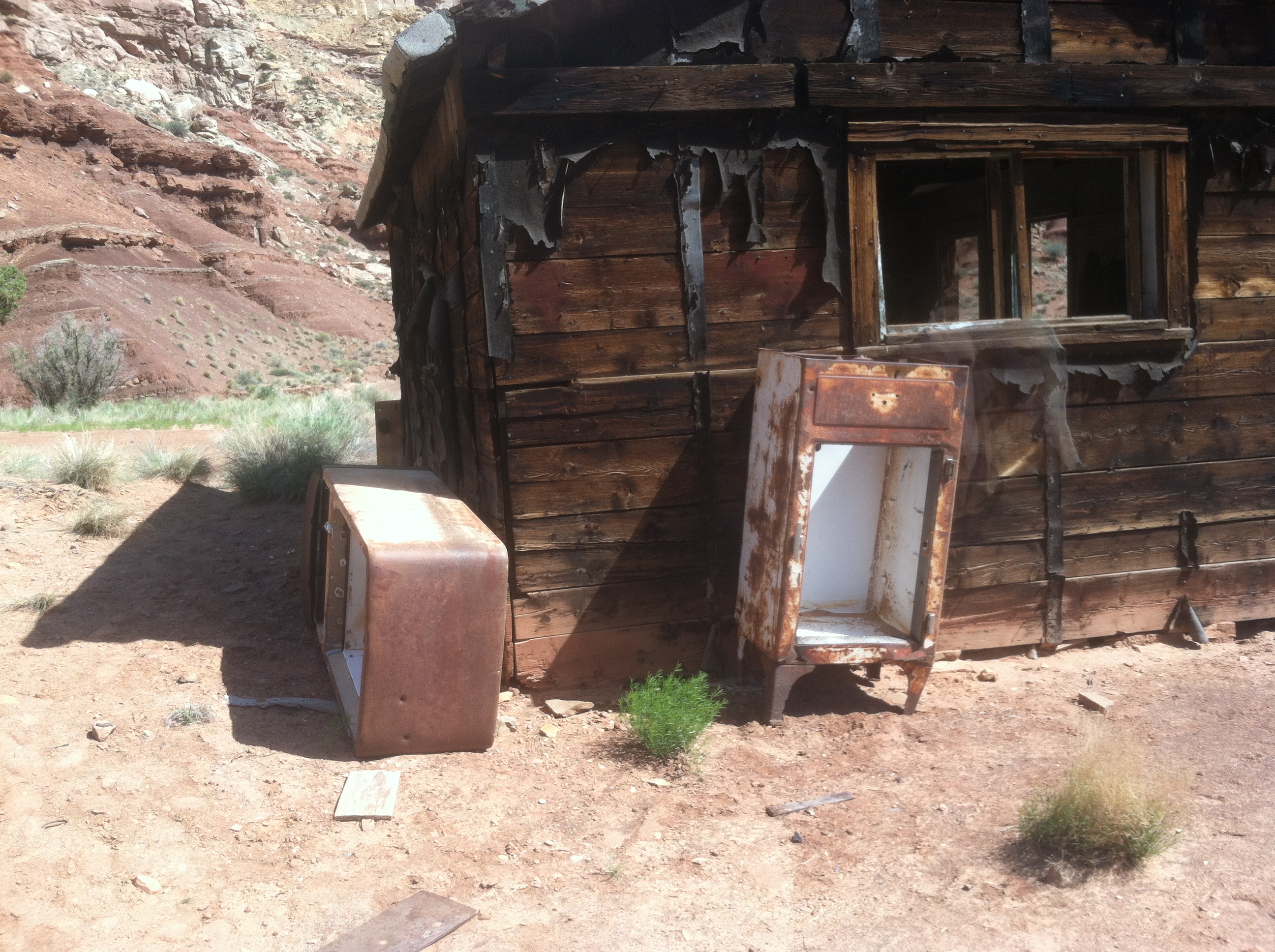
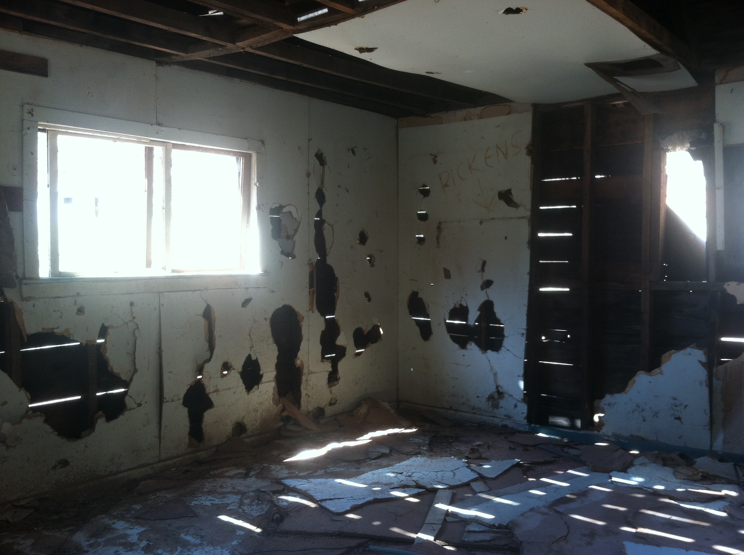
The next morning we all rose relatively early. After breakfast and taking down camp we headed out to out first stop of the day: Swasey’s Cabin. This is where a family of early settlers in the area had lived. A small one room log and grout cabin. It’s amazing to think that they eked out a living down here running cattle.
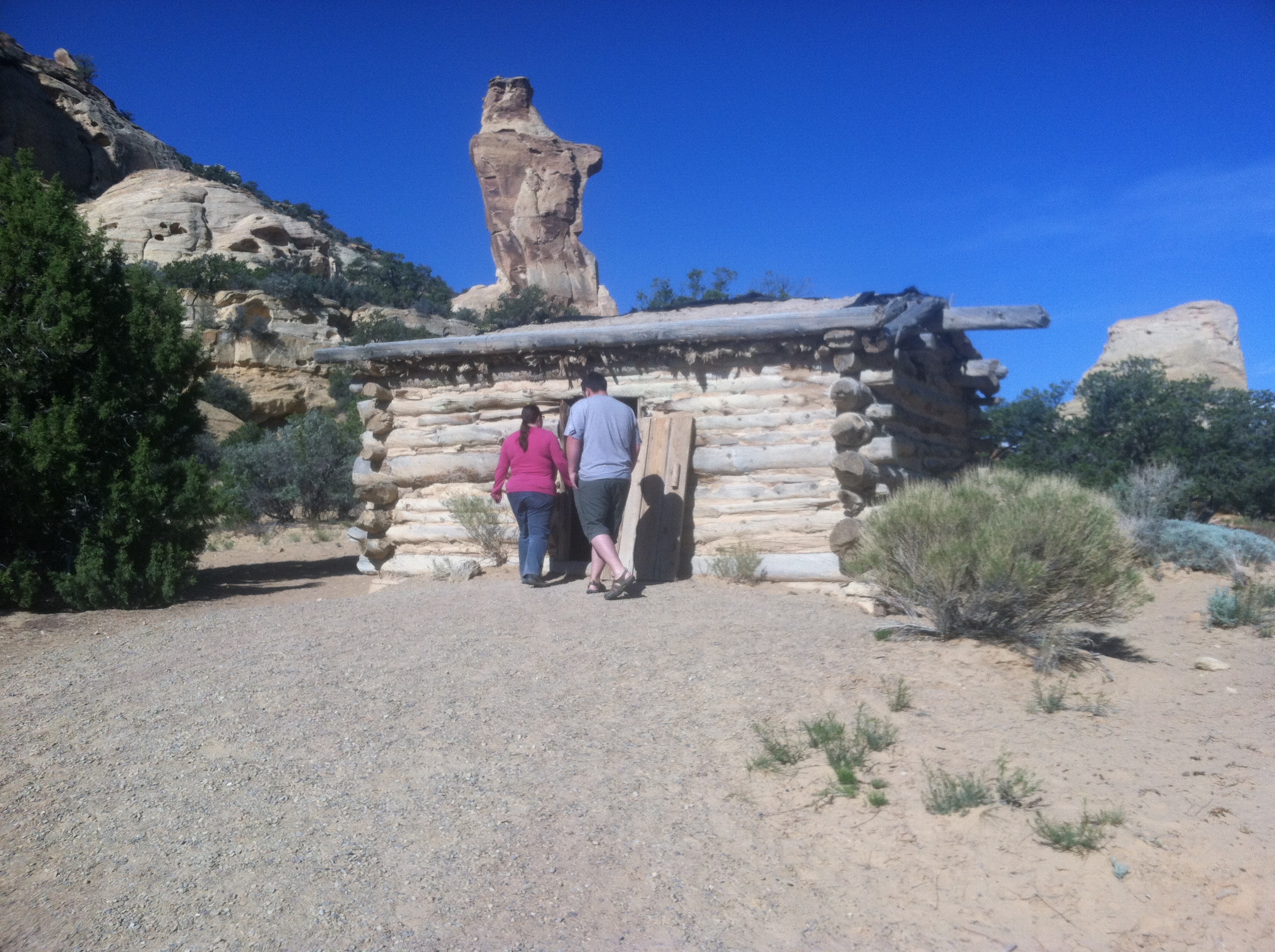
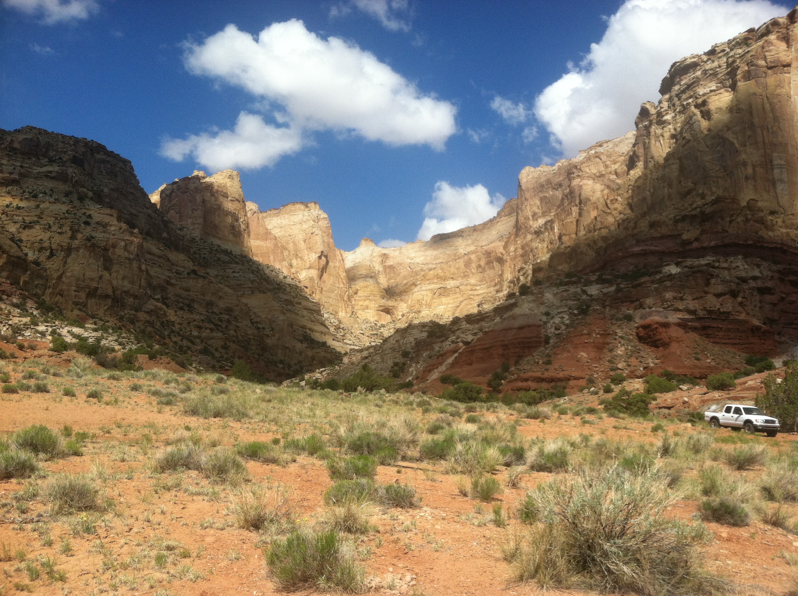
At least they had a spectacular view!
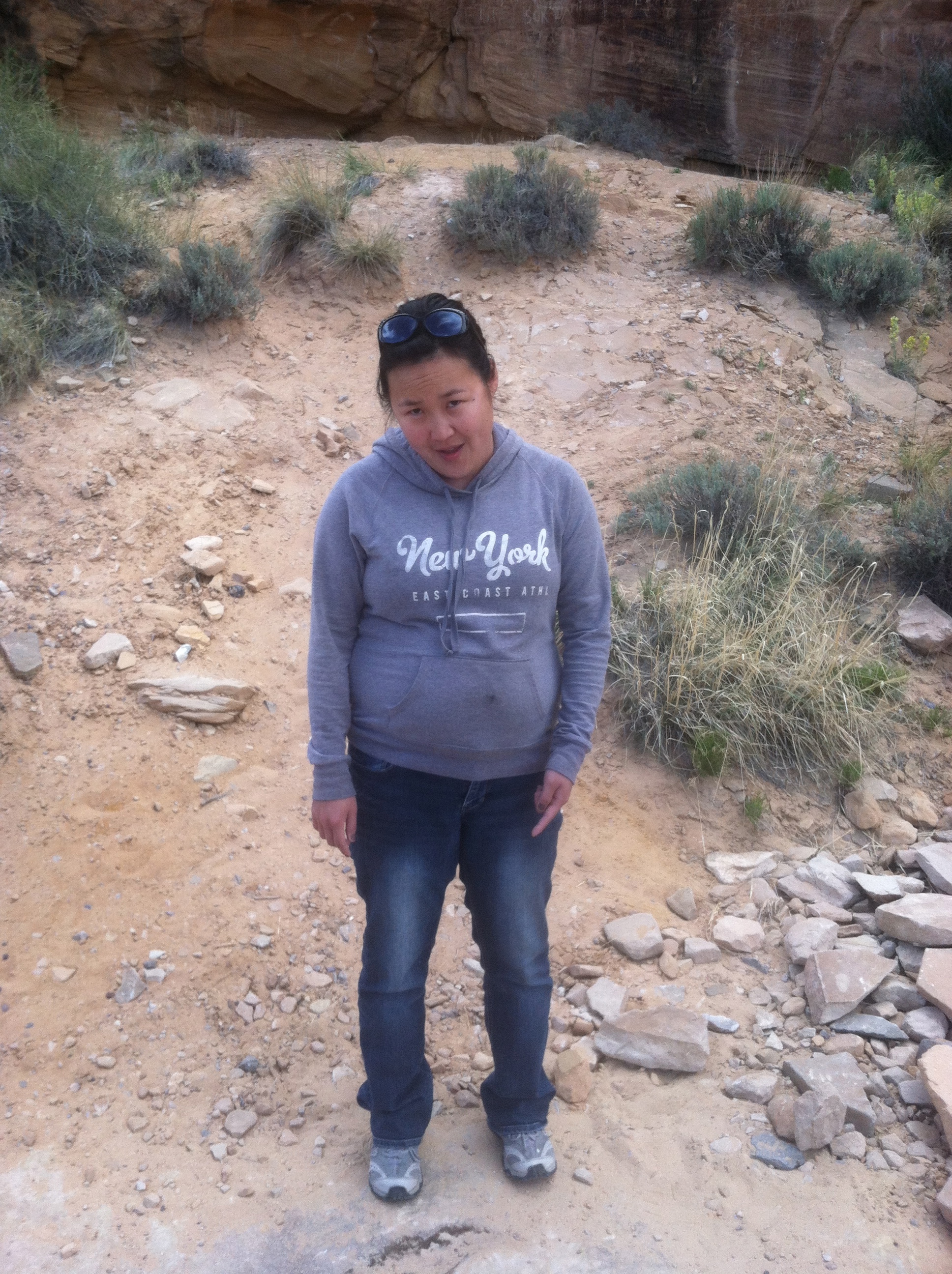
Katy listening intently to my interpretive tour.
After Swasey’s cabin we made our way to one of my favorite areas in the Swell, Red’s Canyon. I regret that I didn’t get any pictures of Red’s Canyon really, as I was driving, but it really is just a beautiful area. And it has my favorite entrance sign of all:
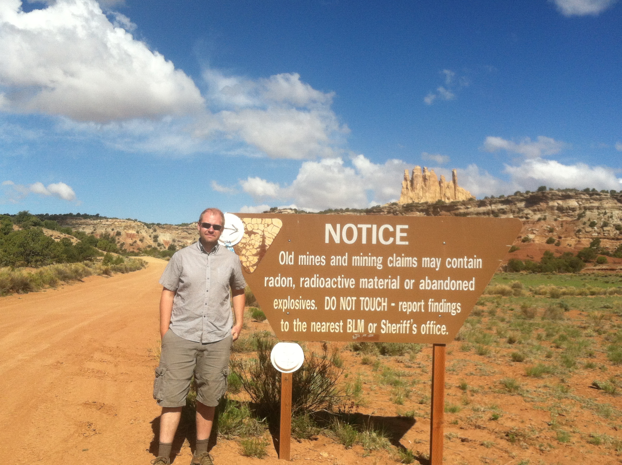
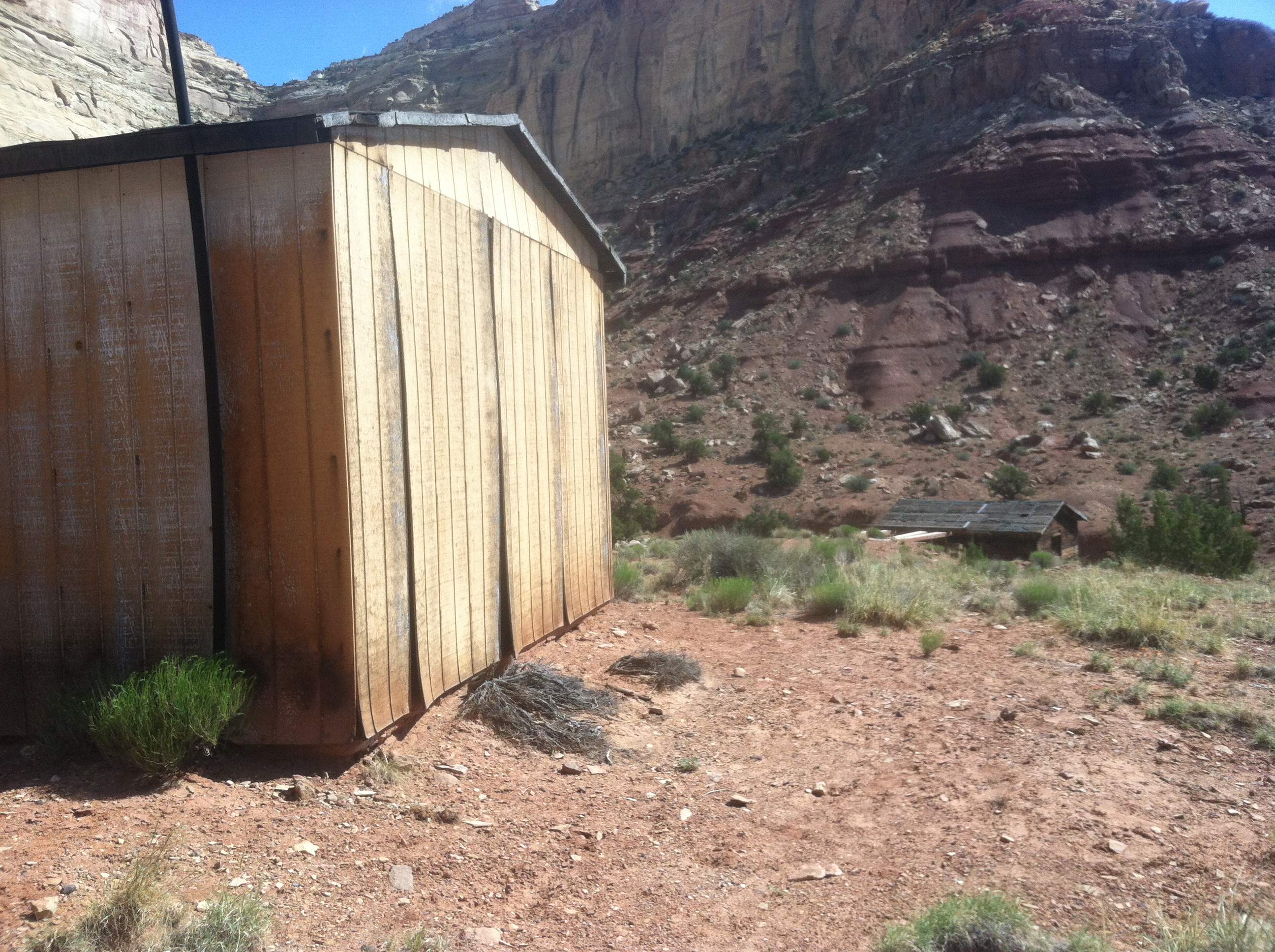
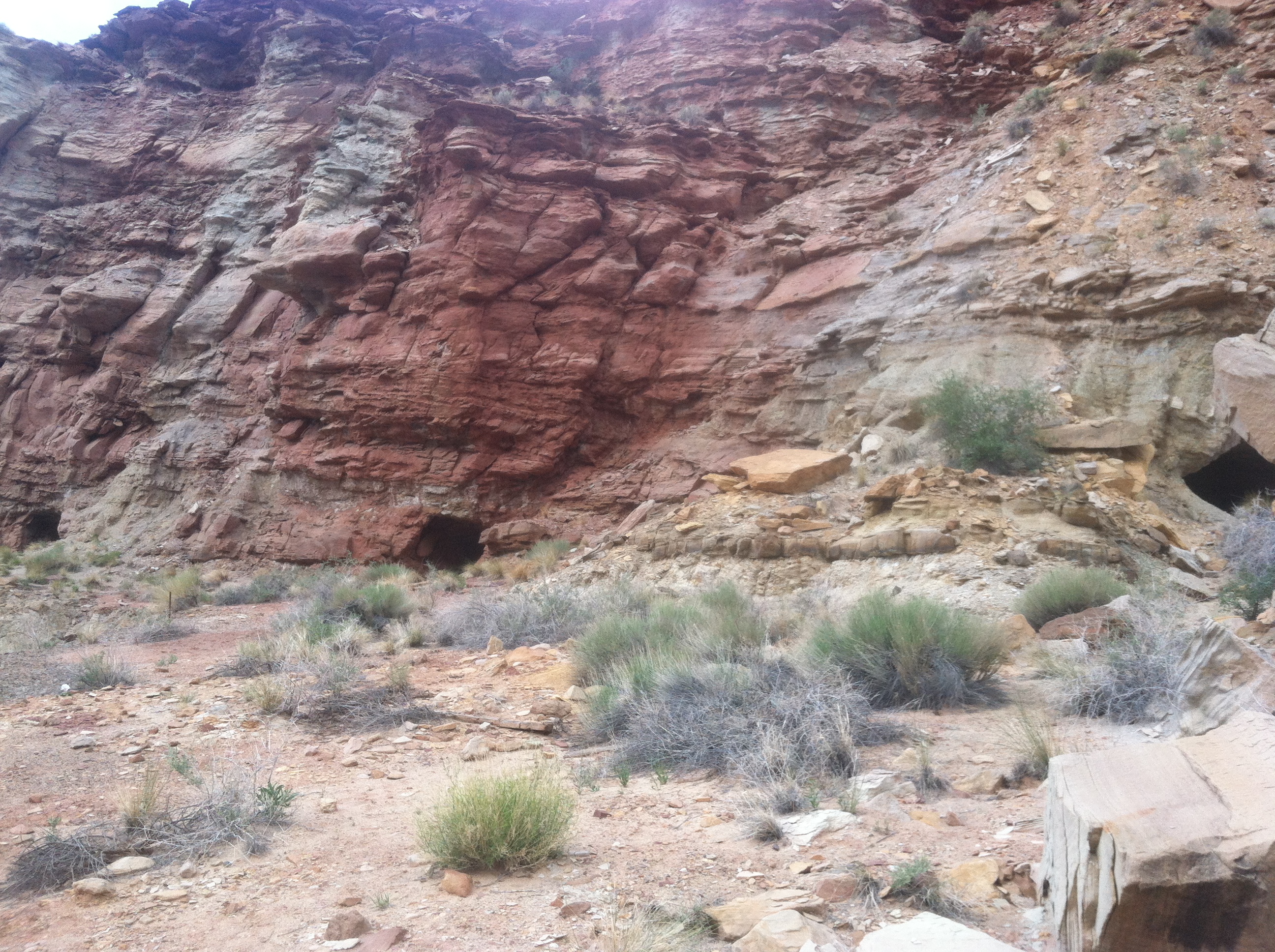
Red’s Canyon was the scene of extensive uranium mining in the 1950’s and ‘60’s, so there are quite a few mines to explore in the area. One of the biggest was the Lucky Strike Mine. You can just tell by what is left, sixty years later, that this was an huge operation.
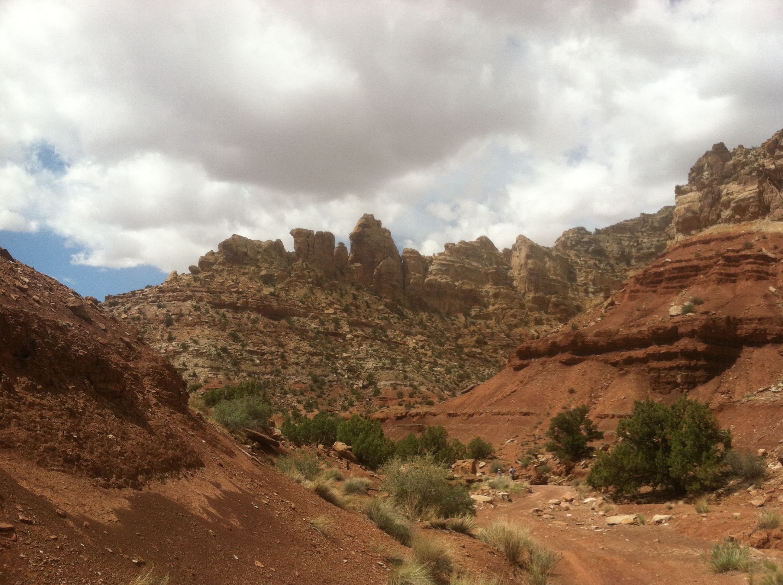
And it’s situated in a spectacular side canyon!
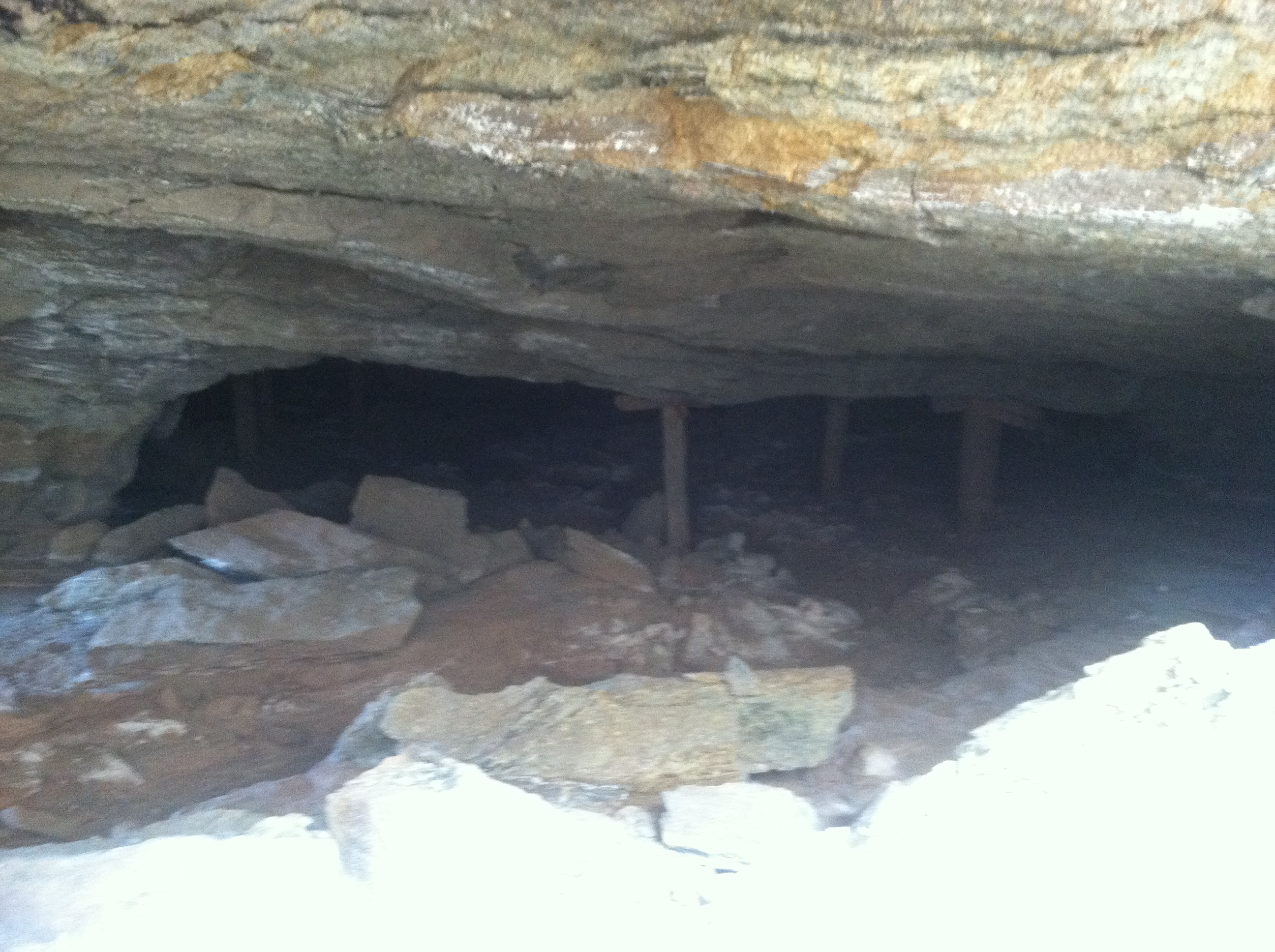
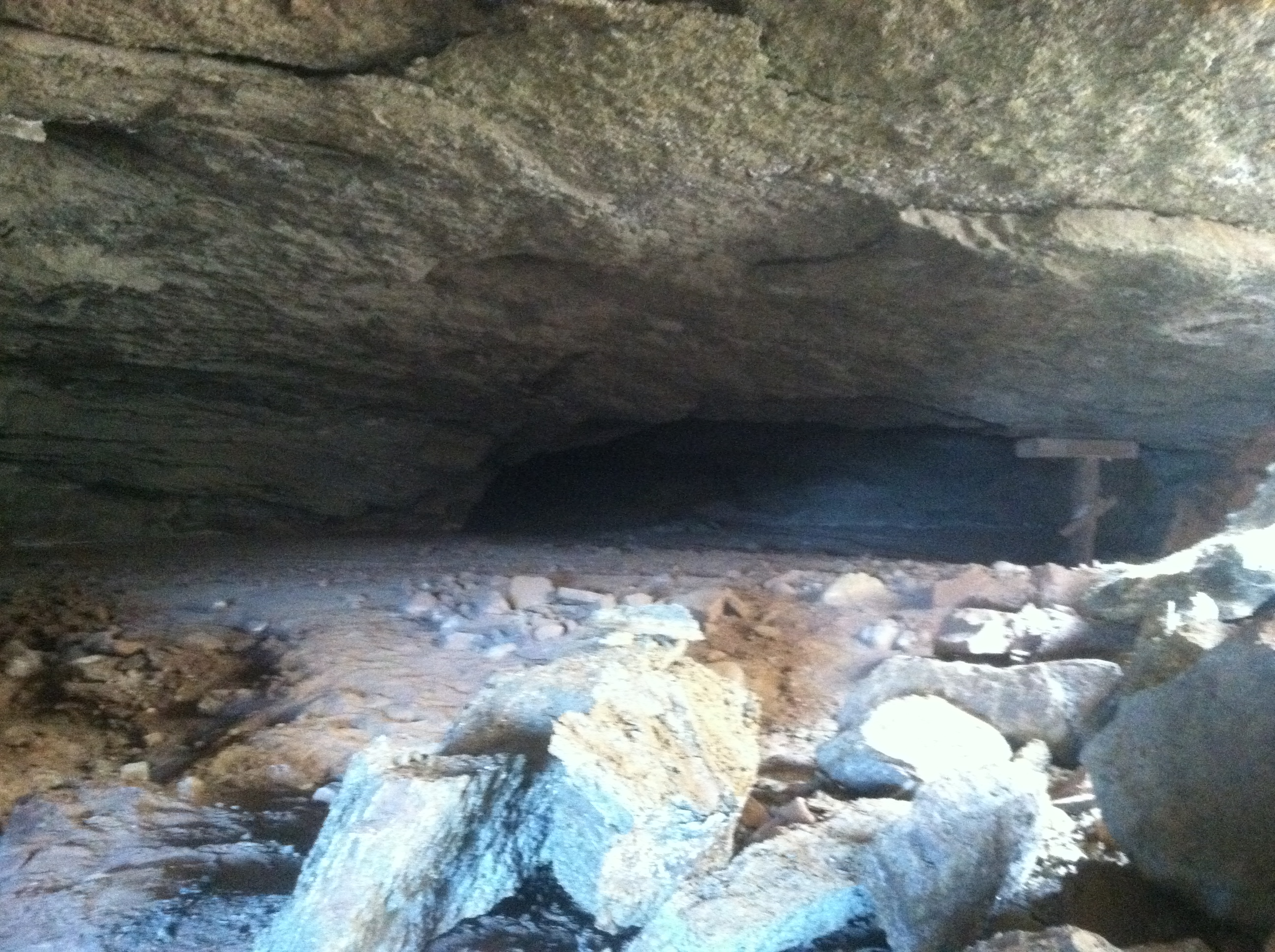
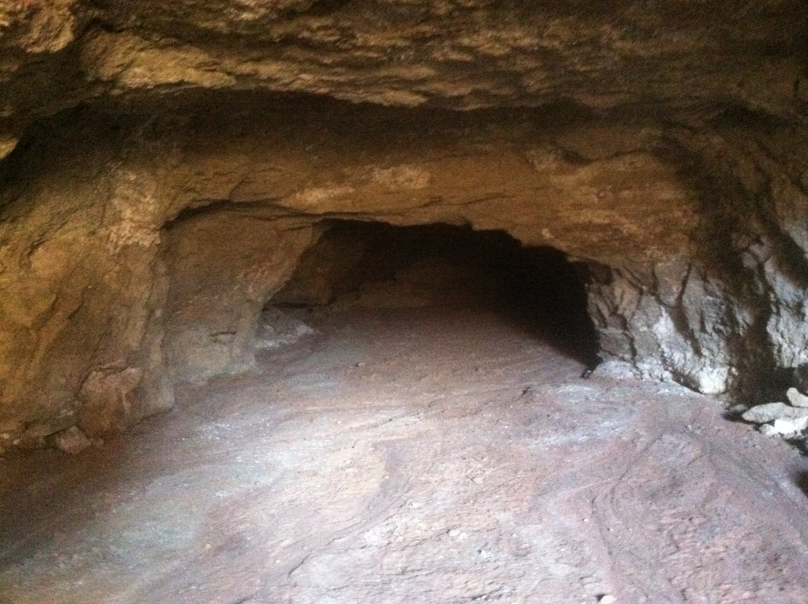
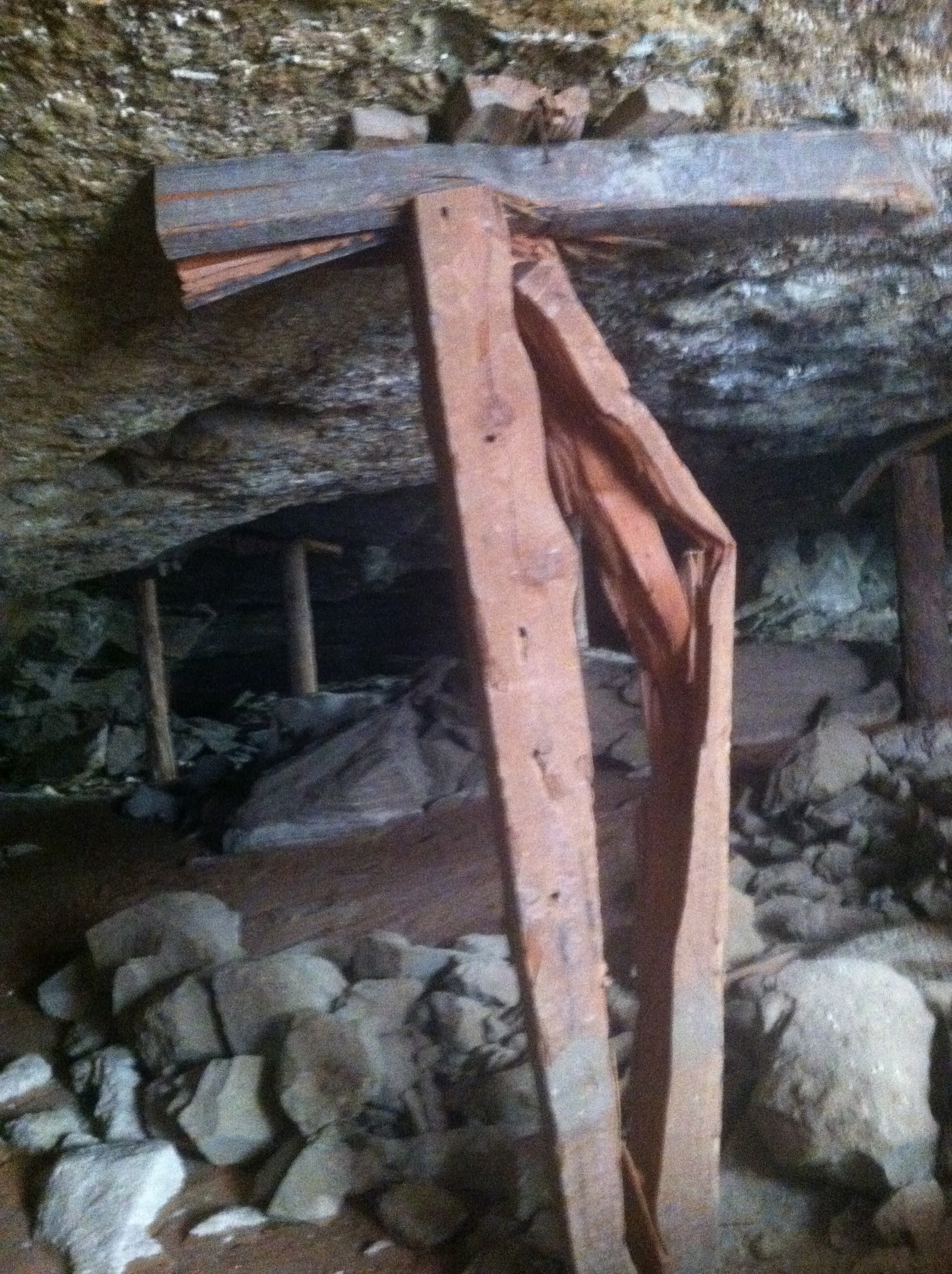
Now I’ve been to the Lucky Strike Mine camp a number of times, but I’ve never taken the time to actually hike up to the mine itself. This time I made it a point to, and I was not disappointed! The first shaft that you can see from the camp has a large entrance, but quickly gets narrow. And since I’m not one for spelunking really, I opted not to venture to far down. Katy, who is short, managed to get a little further than I.
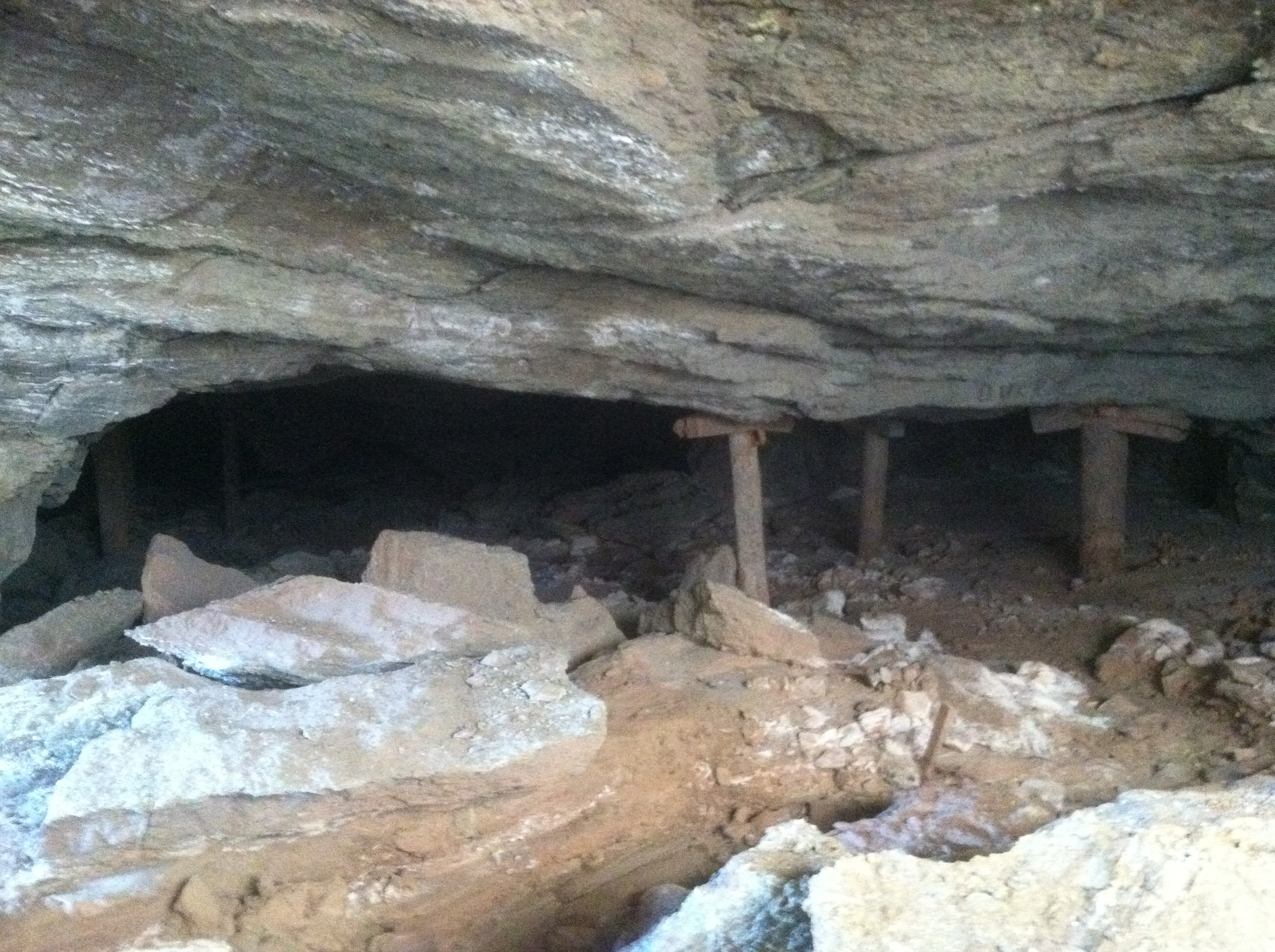
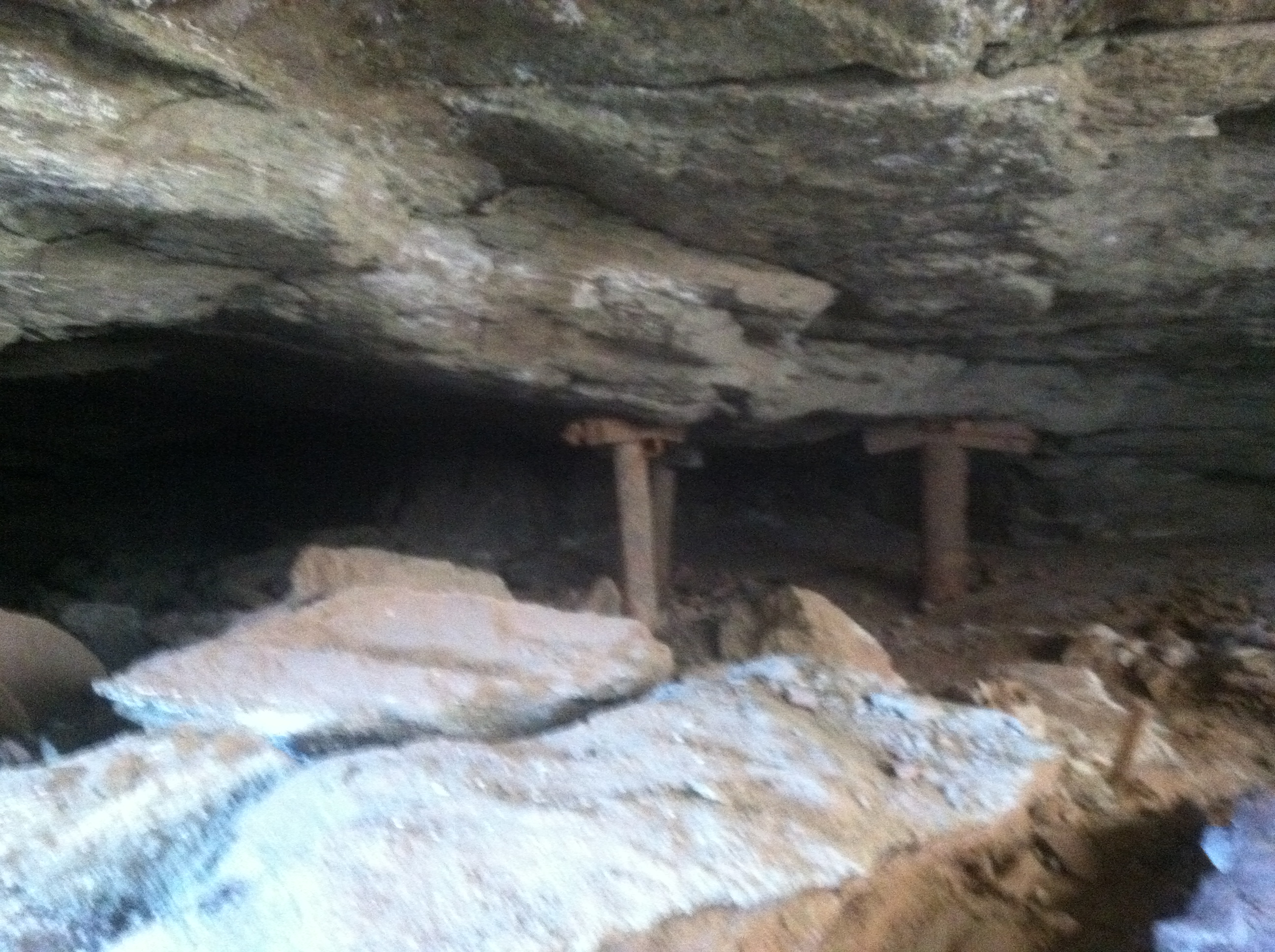
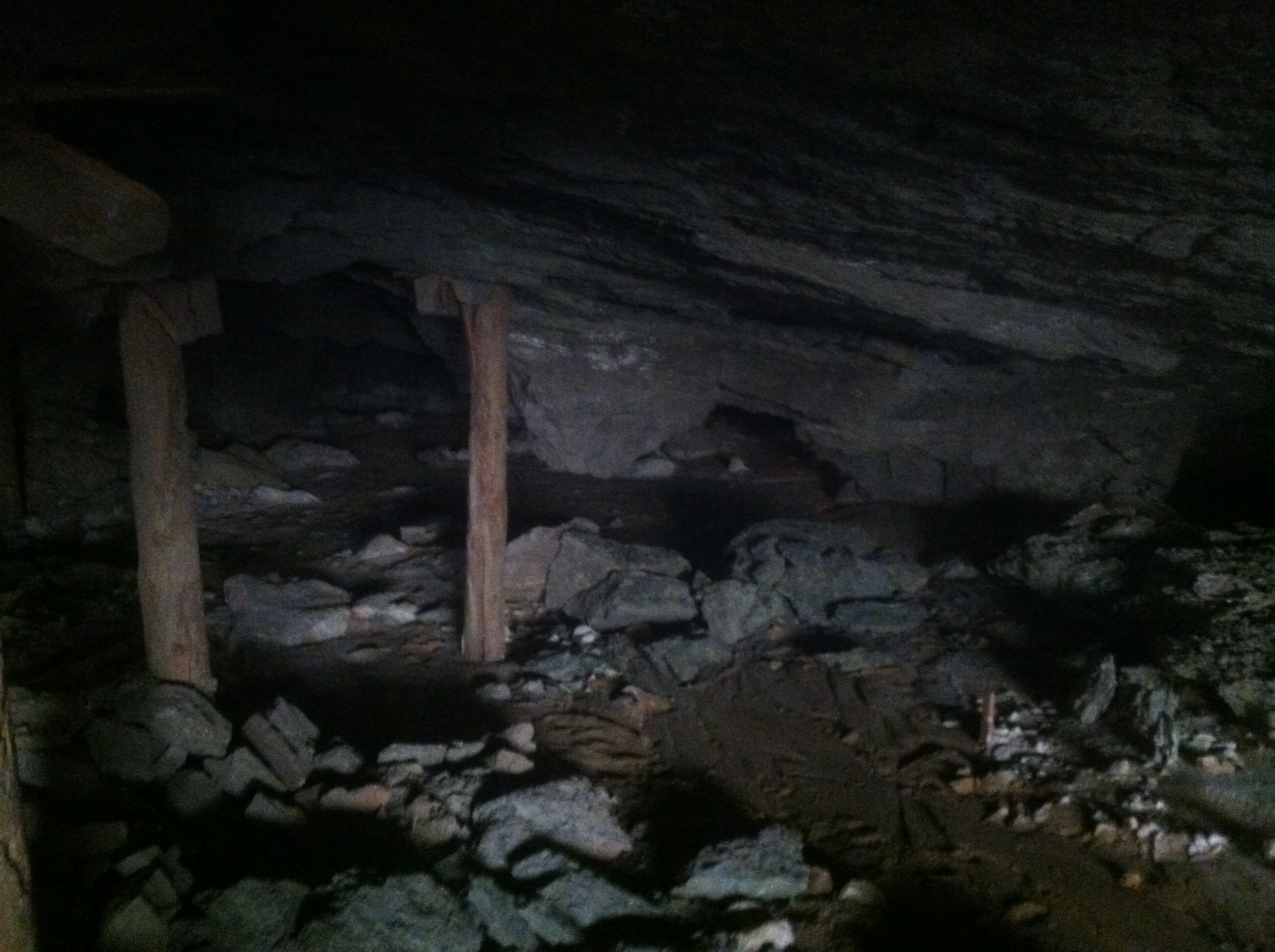
This shaft is nothing compared to what is across the canyon. There is what clearly was the main hub of operation for the mine. I counted not less than five shaft openings.
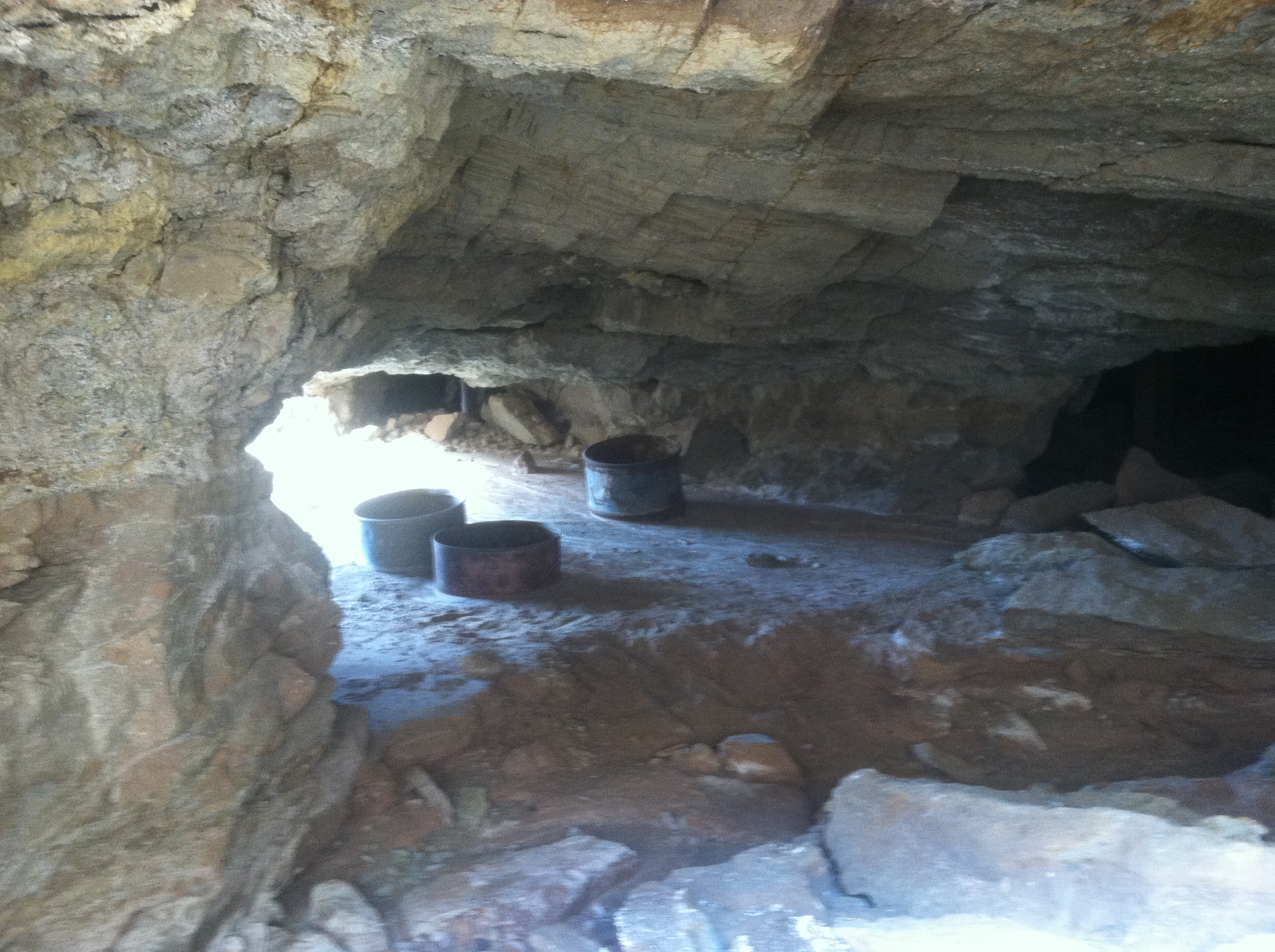
And then once you get inside, wow! Amazing. The pictures don’t do it justice, but just think about how bustling this place must have been in its heyday!
We explored inside the mine for a while and then emerged to find clouds gathering to the west.
And with it being Sunday afternoon everyone (but me) wanted to get home at a decent hour. So rather than head through the rest of the Reds Canyon Loop, we backtracked a bit and then headed out towards Temple Mountain and ultimately Highway 24 near Goblin Valley. This proved to be fortuitous because Scott’s worn BFG AT’s had seen just about enough of the high speed dirt roads in the Swell. First, the particularly angry left front decided to blow out its sidewall.
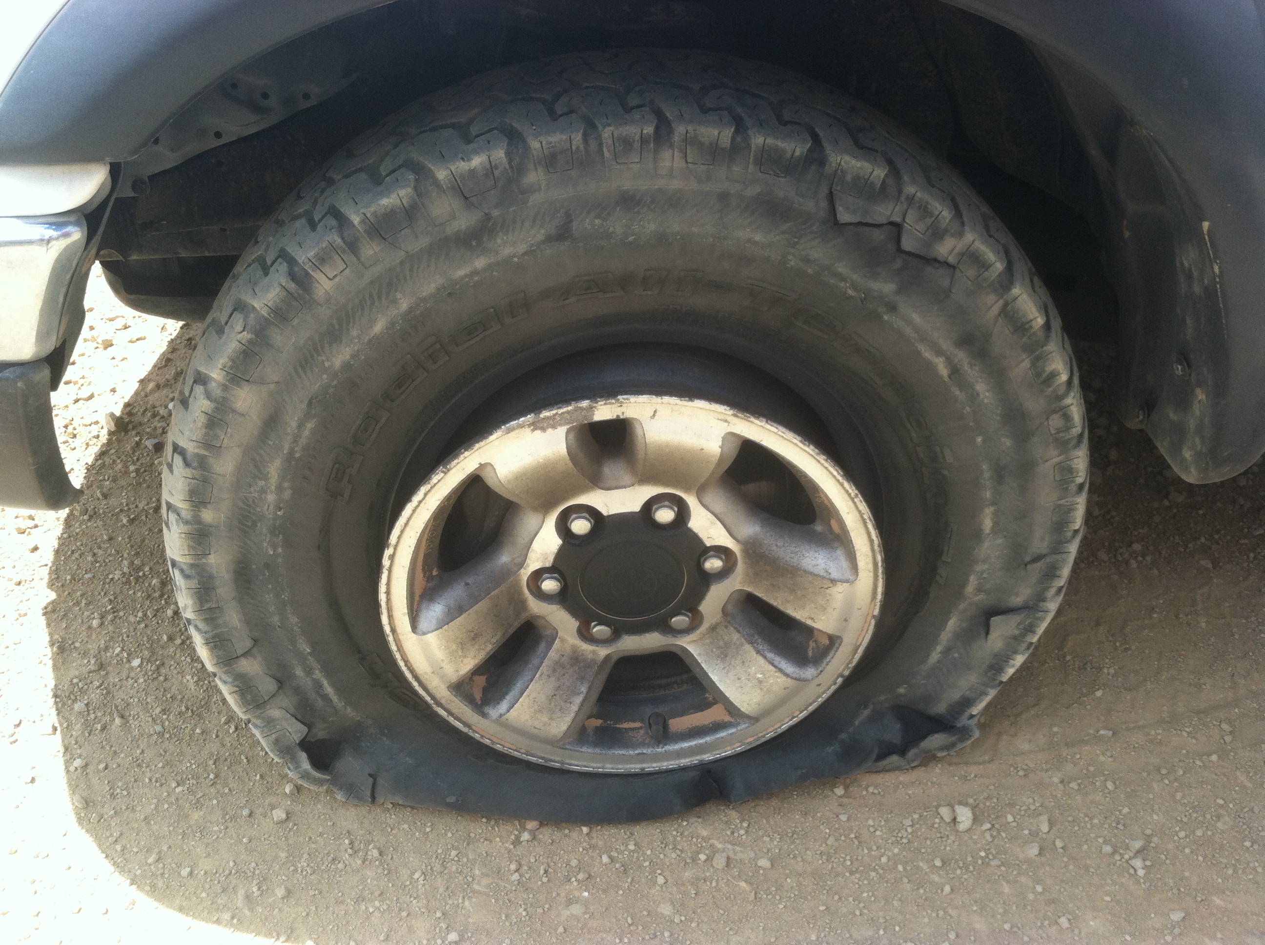
Fortunately he had a good spare and we were back on the road in no time. Unfortunately by the time we reached the Temple Mountain campground, and just a few hundred yards from pavement, the right rear got a puncture. No pictures of that one, but three plugs and a friendly traveler with a compressor since my air tank ran out and we were on our way again.
All in all it was a great weekend. Perhaps we didn’t hit all the highlights, but it was much needed relaxation in one of my favorite areas of the state.