
Site: Tungstonia
County, State: White Pine County, Nevada
Years of Occupation: ?
Status of Site: Open
Classification: Class 2 - Neglected Town
Type: Mining
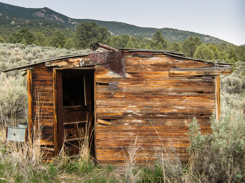
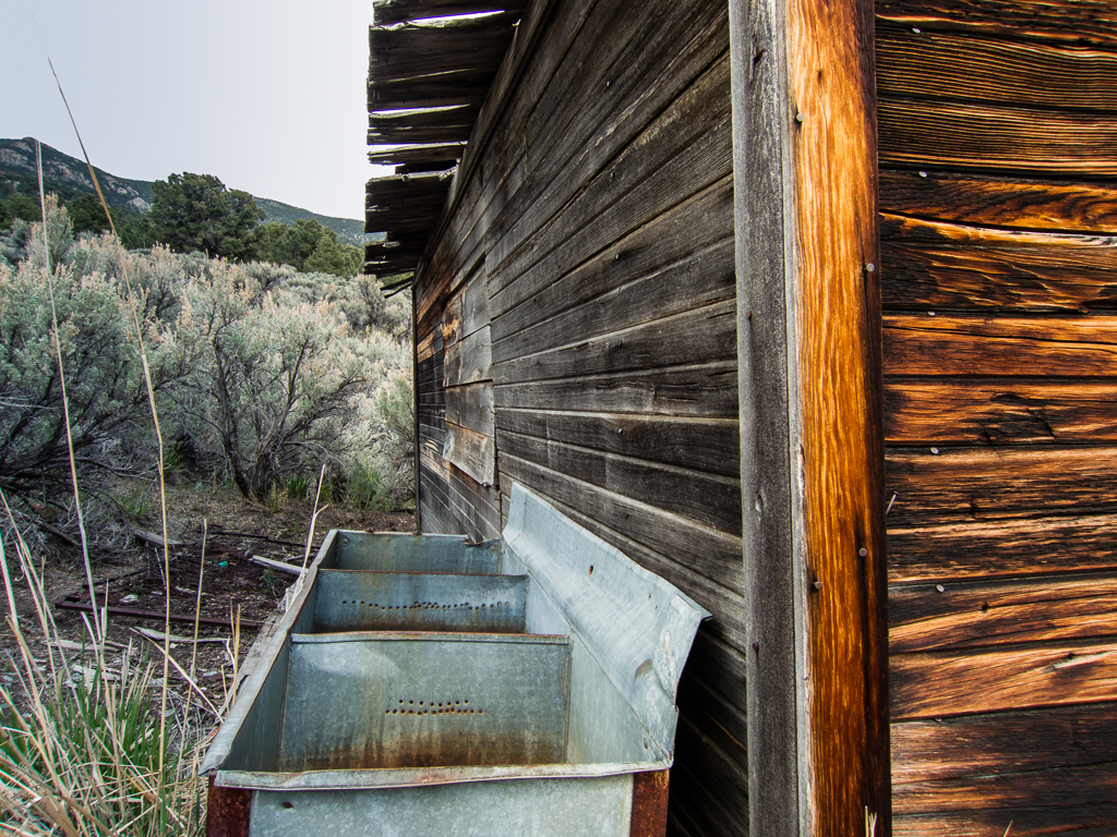
Remnants: Wooden shacks and associated relics, mining relics
GPS Coordinate: 39.6585 114.1621
Date of Last Visit: May, 2013
I know very little about this history of this site, other than it was a mining camp. Hopefully someone else can fill in the blanks.
One aspect that may cause confusion, there are outlying shacks and mining relics all around the area, with the most extensive and impressive remains being the mill at Mike Springs about 3 miles away. I've seen pictures of Mike Springs listed as Tungstonia several times. That mill isn't located at Tungstonia though.
Typical mining ghost town, with a few shacks still standing and relics in profusion scattered over a wide area. Things like cook stoves laying out in the sage brush etc.
To get there, from Gandy head northwest about 15.5 miles up the valley between the Kern mountains to the north and the Snake range to the south. Head north at a four way intersection, the ruins at Mike Springs will be worth a stop about 5 miles later. From Mike Springs head east about 3 miles, Tungstonia is a short distance up the canyon, but there are ruins and relics scattered about the area.
Note - on my last visit, we saw a camp nearby that honestly looked like a meth cook site. Maybe it wasn't. Heck, probably it wasn't. But it certainly had the look of something out of Breaking Bad...
County, State: White Pine County, Nevada
Years of Occupation: ?
Status of Site: Open
Classification: Class 2 - Neglected Town
Type: Mining
Remnants: Wooden shacks and associated relics, mining relics
GPS Coordinate: 39.6585 114.1621
Date of Last Visit: May, 2013
I know very little about this history of this site, other than it was a mining camp. Hopefully someone else can fill in the blanks.
One aspect that may cause confusion, there are outlying shacks and mining relics all around the area, with the most extensive and impressive remains being the mill at Mike Springs about 3 miles away. I've seen pictures of Mike Springs listed as Tungstonia several times. That mill isn't located at Tungstonia though.
Typical mining ghost town, with a few shacks still standing and relics in profusion scattered over a wide area. Things like cook stoves laying out in the sage brush etc.
To get there, from Gandy head northwest about 15.5 miles up the valley between the Kern mountains to the north and the Snake range to the south. Head north at a four way intersection, the ruins at Mike Springs will be worth a stop about 5 miles later. From Mike Springs head east about 3 miles, Tungstonia is a short distance up the canyon, but there are ruins and relics scattered about the area.
Note - on my last visit, we saw a camp nearby that honestly looked like a meth cook site. Maybe it wasn't. Heck, probably it wasn't. But it certainly had the look of something out of Breaking Bad...